Countdown to the Texas GIS Forum
October 19-23, 2026
Geospatial work shapes how Texas plans, builds, and responds. GIS professionals support the systems our state relies on every day, even when that work goes unseen. The Texas GIS Forum brings those efforts to the forefront, connecting the people behind the maps, data, and decision-making.
From visionary keynotes and peer-led presentations to interactive spaces and hands-on learning, the Forum offers a comprehensive look at the state of the industry. Beyond the sessions, our social and networking opportunities provide the space to reconnect with collegues and build new partnerships.
Join your peers from across the state and beyond to share what's working, what's changing, and what's next. This year, geospatial takes the stage.

Keynote Speakers

Tori Murden McClure
athlete, adventurer, chaplain, lawyer, and the first woman and the first American to row solo across the Atlantic Ocean.
Tori Murden McClure
athlete, adventurer, chaplain, lawyer, and the first woman and the first American to row solo across the Atlantic Ocean.
Registration |
Early
Ends 8/17 |
Standard
Ends 10/24 |
Late /
at Door |
|---|---|---|---|
| Government Rate | $400 | $450 | $475 |
| Industry Rate | $475 | $525 | $575 |
| Student/Public Rate | $75 | $75 | $75 |
Current students MUST present a valid student ID upon registration check-in. If you are a recent graduate, currently unemployed, or retired and would like to be considered for a Student/Public ticket, please email texasgisforum@iemshows.com with a brief explanation of your circumstance BEFORE moving forward with registration.
Need a justification letter? Download our ready-to-use template here.
Workshops |
Half-day Session
|
Full-day Session
|
|---|---|---|
| Flat Fee | $150 | $300 |
Conference Workshop passes are sold separately and do not include sessions, exhibits, or meals.
Map Gallery
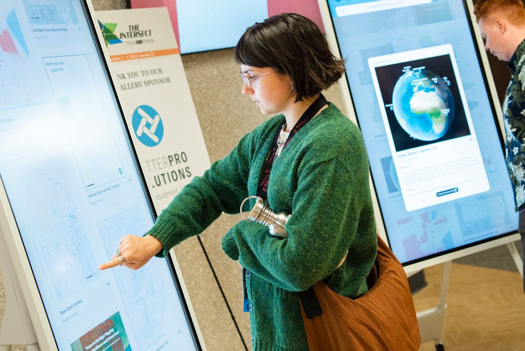
The Map Gallery shows the many ways maps can communicate complex ideas. It’s a place for the community to show off their hard work, spark conversation, and explore how others use design and data to tell place-based stories.
Sponsor the Forum
Sponsoring the Texas GIS Forum connects your organization with hundreds of GIS professionals across Texas. Sponsors support the event experience while gaining visibility, meaningful conversations, and direct engagement with the Texas GIS community.

Submit a Peer Presentation
Peer presentations are the heart of the Forum. Share a project, idea, or lesson learned with an audience that values practical insight, open discussion, and real-world GIS
Enter the Map Gallery
The Map Gallery highlights creative and effective uses of GIS. Submit a map to showcase your work, spark conversation, and explore how others use design and data to tell place-based stories.