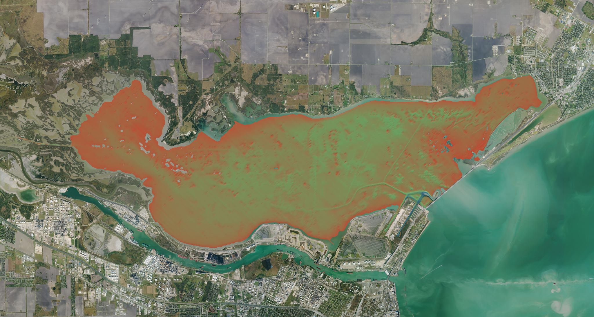
Nueces Bay, bathymetry, 2023
ba·thym·e·try
the measurement of depth of water in oceans, seas, or lakes.
Nueces Bay, bathymetry, 2023
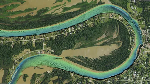
Bathymetry maps the terrain of submerged landscapes and along the Texas coast, that information is essential. These areas are dynamic systems constantly shifting as storms, tides, and sediments reshape channels and shorelines. The Bathymetry program at TxGIO focuses especially on these regions where data has historically been sparse or out of date. Since 2022, the program has used recommendations from the Texas Integrated Flooding Framework's (TIFF) Technical Advisory Committee (TAC) and other state experts to advance Texas bathymetry efforts and focus on high priority areas.
The Bathymetry program at TxGIO uses single-beam and multi-beam sonar techniques to help close longstanding gaps in Texas coastal knowledge. This approach produces a more seamless, high-accuracy picture of the coastal zone, especially in shallow areas where more traditional methods struggle. As new datasets are released, they are aligned with and submitted to national resources like NOAA's BlueTopo program users can move easily between coastal elevations and underwater terrain in their analyses.
The value of this work is immediate and practical. Emergency managers rely on updated bathymetry to strengthen storm-surge and flood models that protect coastal communities. Engineers use it to design safer infrastructure and channel maintenance. Researchers use it to track environmental change and understand how coastal systems respond to major storms. Local governments depend on it when evaluating development, restoration, or long-term resiliency strategies. And because TxGIO provides this data at no cost on the DataHub, the entire coastal community from state agencies to private consultants benefits from the same trusted source of information.
projects managed
projects partners
worth of funds put towards Lidar projects
Get the latest on Texas data projects delivered to your inbox. Our updates make it easy to stay informed and engaged with the state’s evolving geospatial landscape.
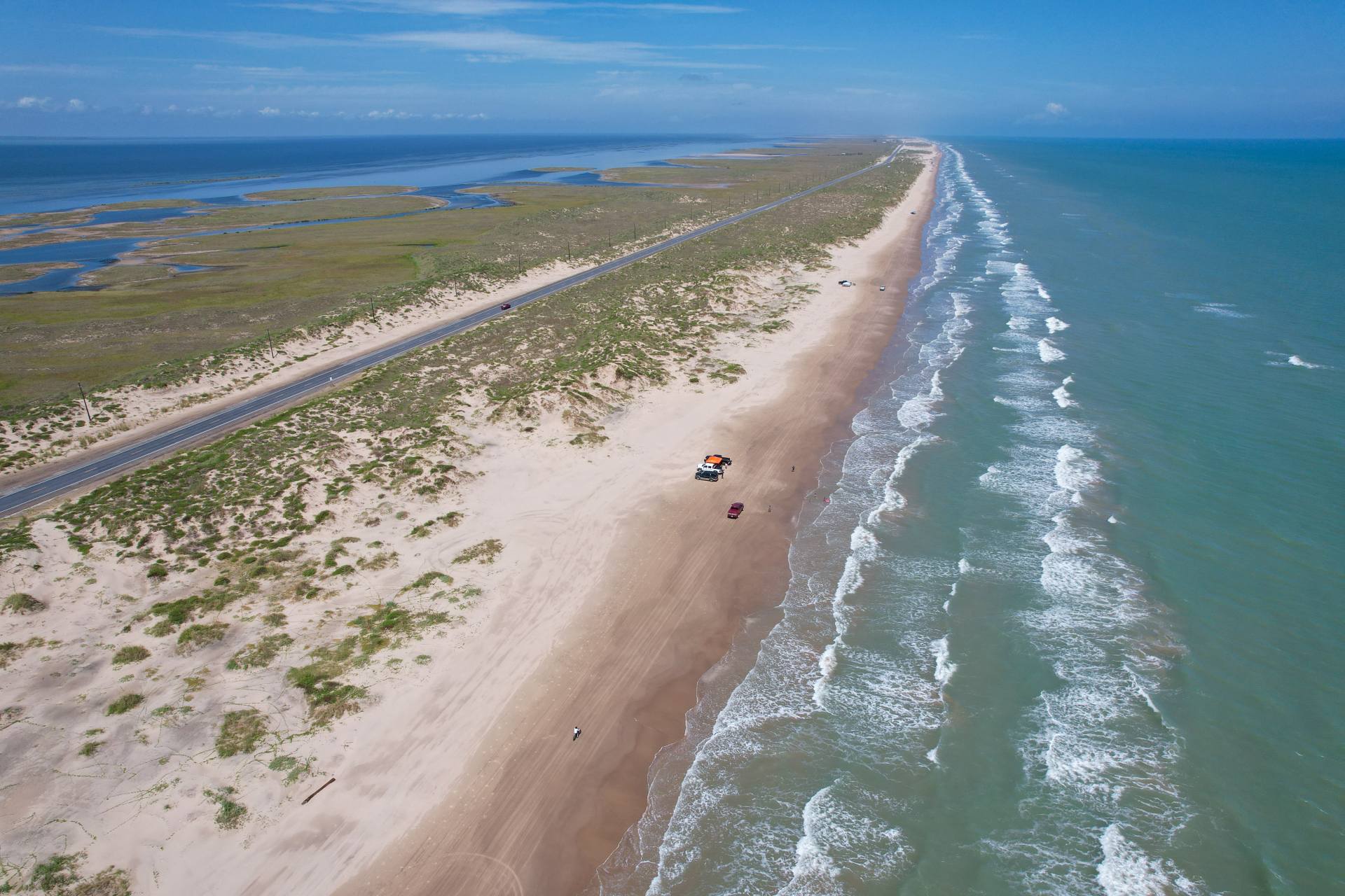
Accurate bathymetry shapes how we understand coastal risk, plan for storms, and protect the communities that depend on the bays and estuaries along the Texas coastline. Reliable information leads to safer decisions.