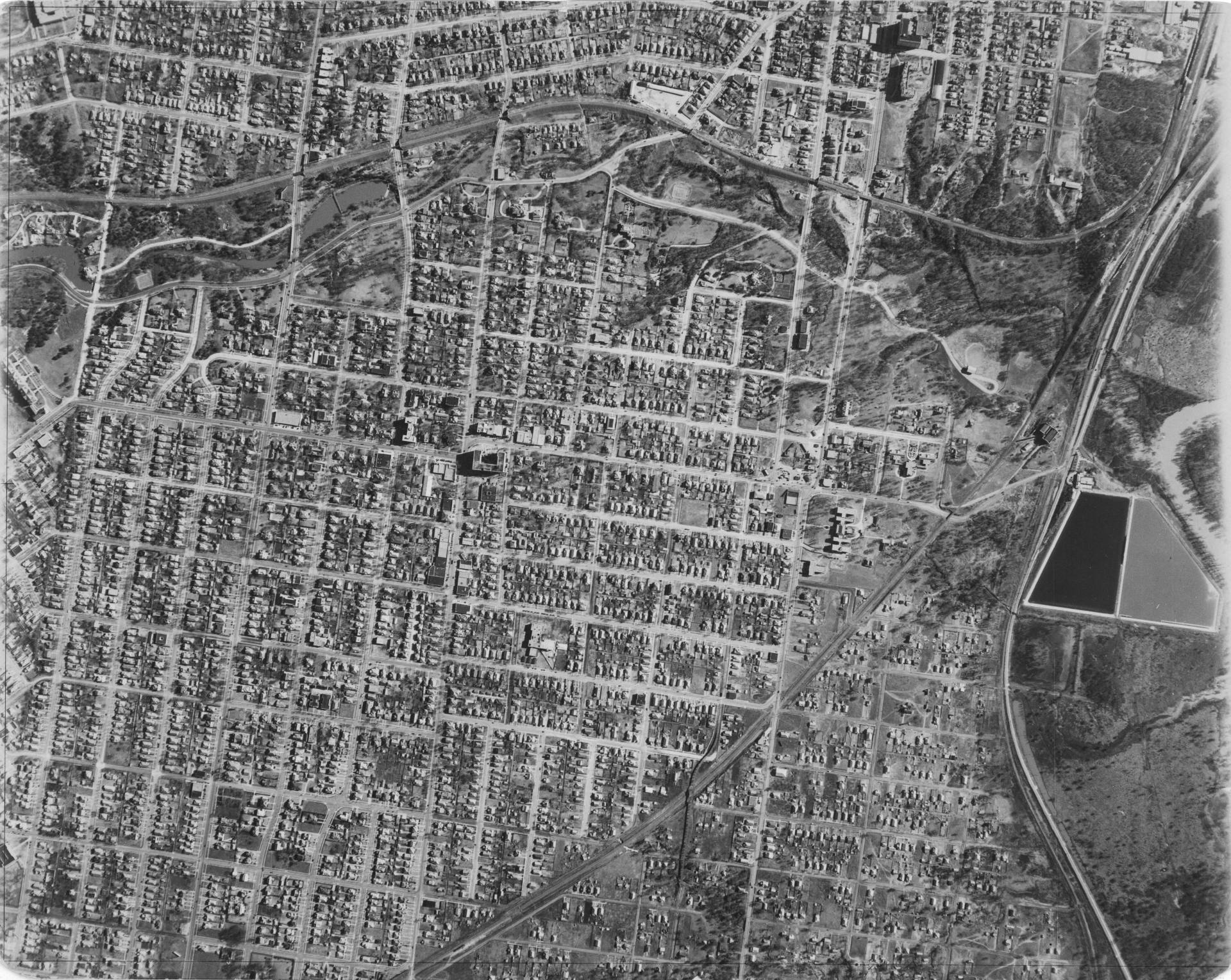
Dallas, Texas historical aerial imagery, 1927
ar·chive
a collection of historical documents or records providing information about a place, institution, or group of people.
Dallas, Texas historical aerial imagery, 1927
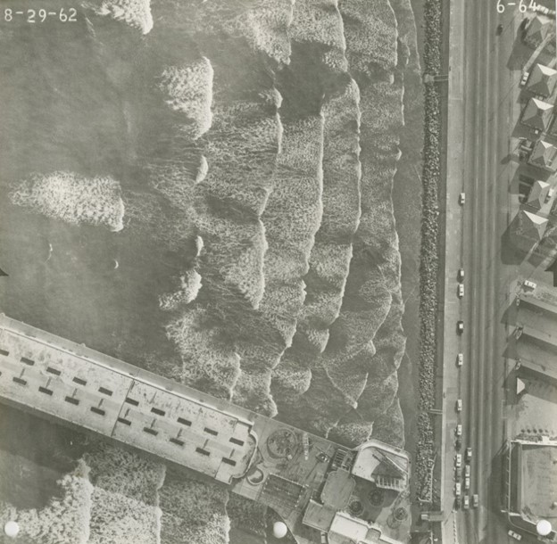
The Historic Imagery Archive is a unique repository of aerial imagery of Texas that dates back nearly a century. TxGIO works to preserve and organize this visual record so they can be accessed online and used alongside today’s digital datasets. This archive offers a rare and comprehensive view of Texas communities, landscapes, and infrastructure that doesn’t exist anywhere else.
Once donated, imagery is scanned, georeferenced, and cataloged to make it easier for people to locate and use. Users can explore photos of specific regions, years, or project areas without needing special software or experience. By preparing the images for modern mapping environments, the archive turns analog materials into resources that can support side-by-side comparisons, long-term change studies, and geographically accurate references.
Studying long-term environmental change is possible with a statewide visual record that spans decades. Land cover shifts, shoreline movement, and patterns of urban growth can be traced clearly across time by researchers. Preserving community history becomes more straightforward when preservation groups can reference accurate, dated imagery. By making these photos accessible and ready to use, TxGIO strengthens the work of Texans who rely on the past to inform decisions about our state’s future.
acquiring agencies
of historical aerial imagery frames
historical aerial imagery frames
Our updates make it easy to stay informed and engaged with the state’s evolving geospatial landscape.
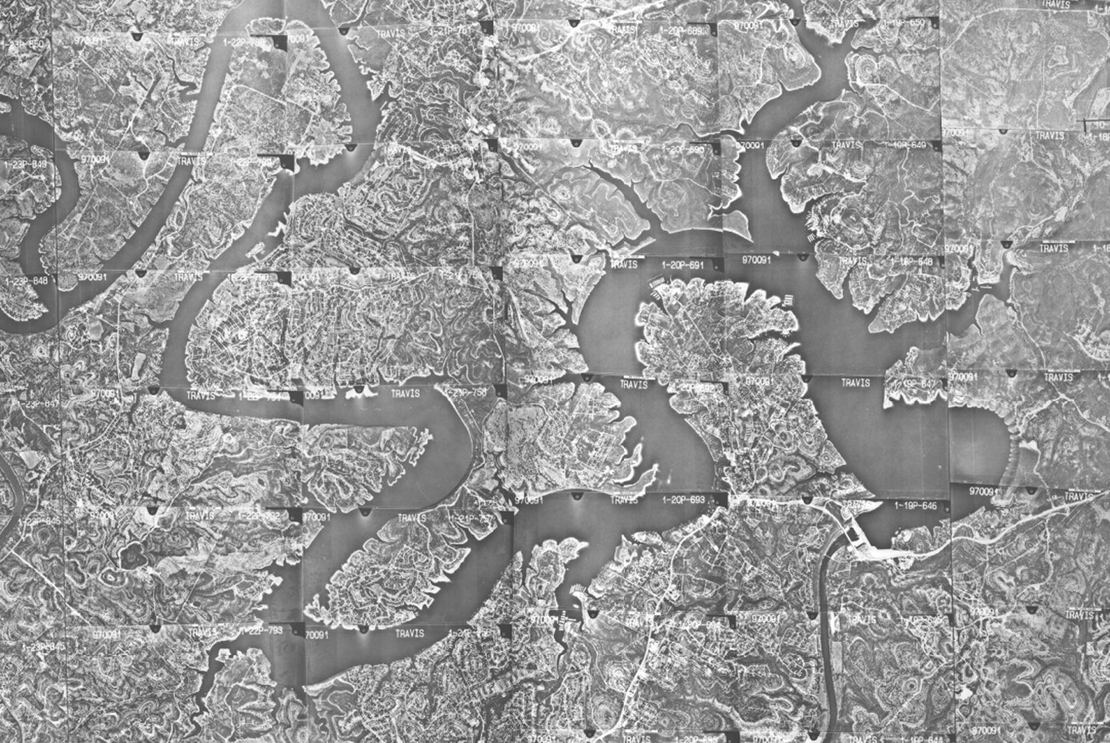
Historic imagery turns the past into a measurable record, helping Texans trace patterns modern datasets alone can’t capture. It provides essential context for how the Texas we know came to be.