Skip to Main Content

Texas Imagery Service (TIS)

servĀ·ice

action of helping or doing work for someone

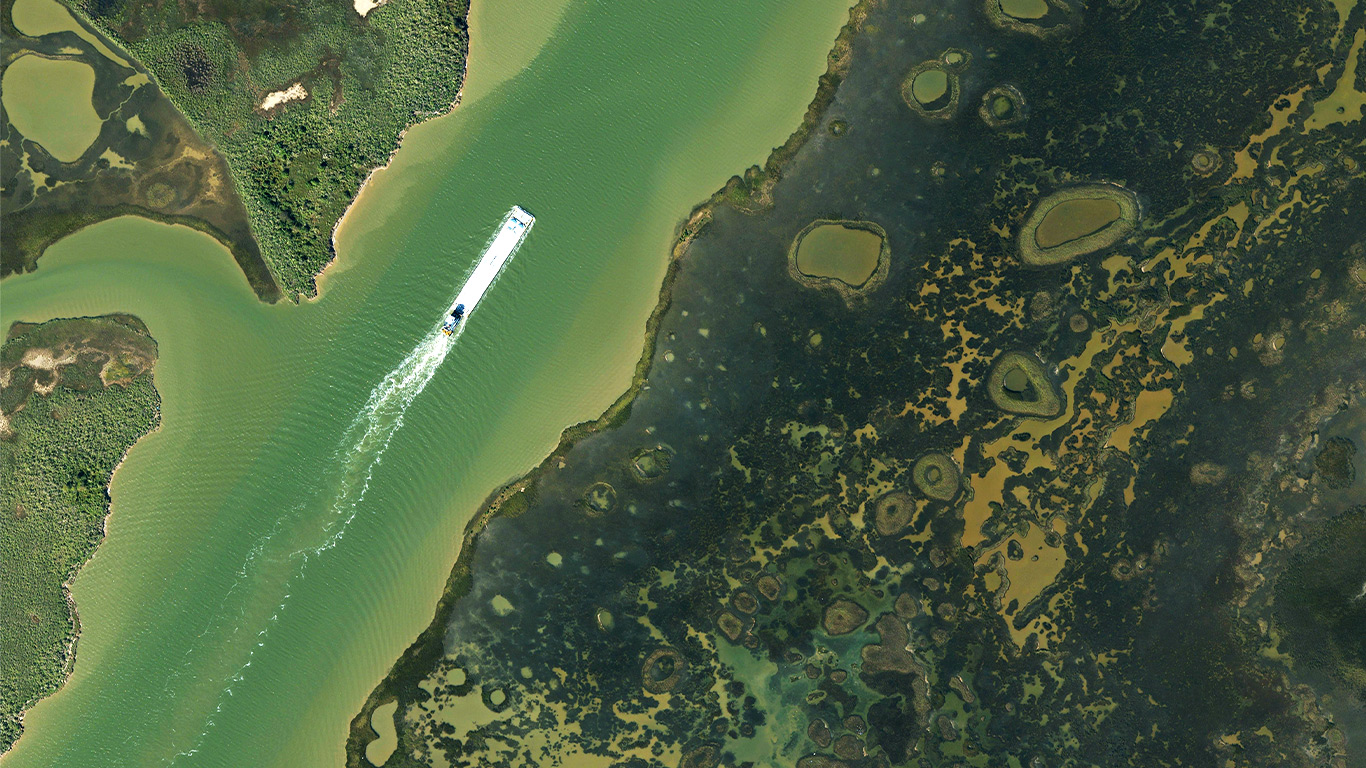
Gulf Intercostal Waterway, Texas Imagery Service, 2024
Gulf Intercostal Waterway, Texas Imagery Service, 2024

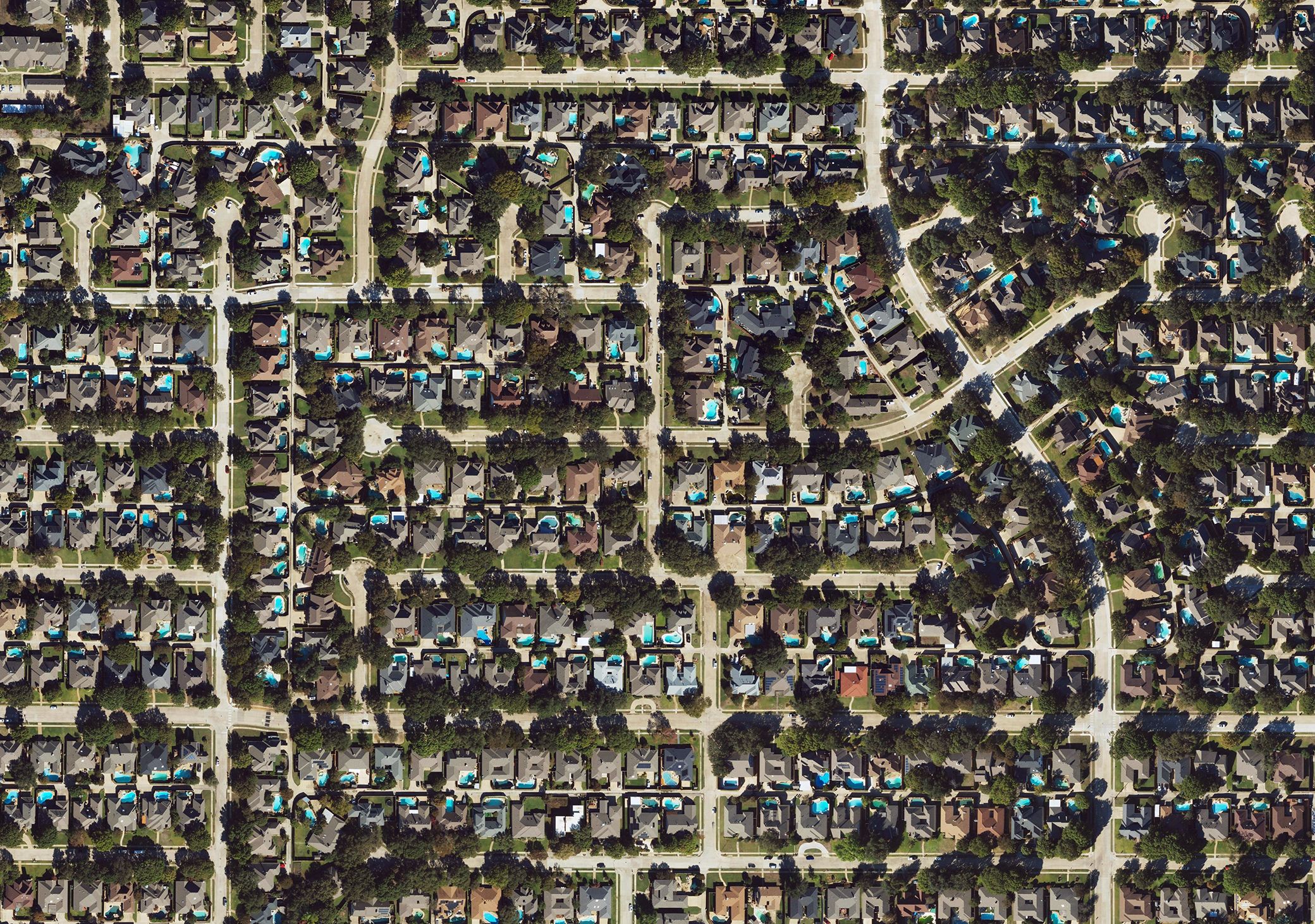
Allen Texas, 2024
Allen, Texas, Texas Imagery Service, 2024

Local and state governments shouldn’t need to manage their own flights and storage systems just to utilize aerial imagery. The Texas Imagery Service replaces that complexity with a single, stable source of 6-inch, natural color (3-band), imagery that streams smoothly into common mapping applications. Imagery is unified across all 254 Texas counties, so you can shift perspective – from the piney woods to the great plains – in seconds. 

Imagery is collected every two years. Once processed, the data appears in the system with no extra effort from subscribers. Users of the service can look at current conditions, compare it with past orthoimagery, and download the imagery they need. Access to the imagery is available through an annual subscription that can be joined at any time.  

Agencies who take advantage of the Texas Imagery Service can distribute the program to as many users internal to their organization as needed or to contractors working on their behalf, without restriction.  Active participants are also able to add optional service enhancements like custom flights, color inferred or change detection for a fraction of the price of other traditional procurement processes. 

This service supports various applications, including environmental monitoring, emergency management, and infrastructure planning, while eliminating the difficulties associated with data management and storage. By centralizing acquisition and distribution of imagery, the Texas Imagery Service eliminates the cost of administrative oversight, individual acquisition projects, and the cost to host vast amounts of data. Utilizing the Texas Imagery Service is the most affordable way to gain current orthoimagery of your region of Texas. 

Become a Texas Imagery Service subscriber.

A subscription gives you reliable access to statewide imagery on a platform that’s easy to use and built to last. Instead of managing imagery on your own, you gain a shared utility with flexible access for your entire team. More information to come soon! 

Data in Numbers

Data in Numbers

0

years of imagery

0 -inch

pixel resolution

0 Unlimited

Users per organizational subscription

Get the latest Texas data projects delivered to your inbox.

Get the latest on Texas data projects delivered to your inbox. Our updates make it easy to stay informed and engaged with the state’s evolving geospatial landscape. 
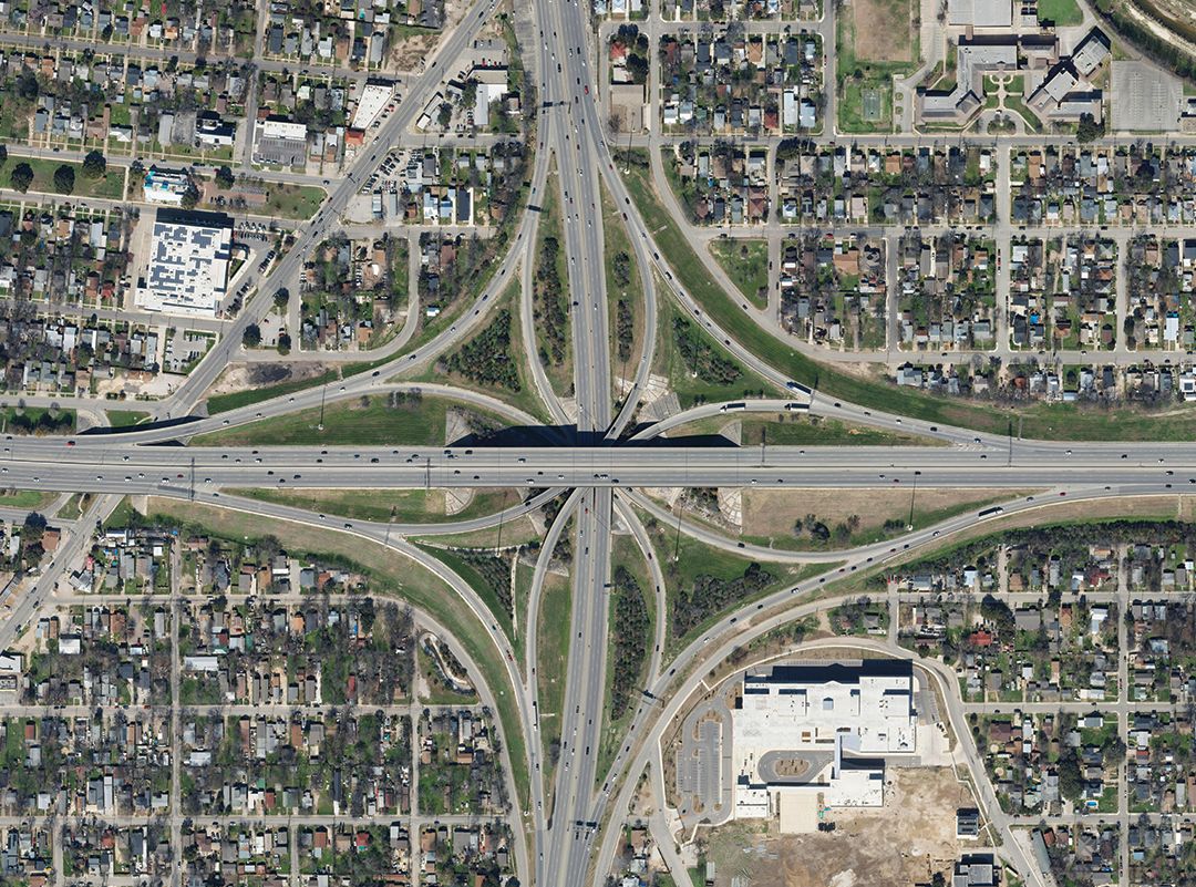
San Antonio 2024

Why organizations rely on the Texas Imagery Service: 

Agencies rely on the Texas Imagery Service to save time and resources by eliminating the need to manage individual imagery projects, contracts, or storage systems. The service provides a trusted, statewide source of consistent imagery already utilized by dozens of public entities. 

FAQ - Frequently Asked Questions

Explore all FAQ's


The goal of the Texas Imagery Service is to serve orthoimagery at full statewide coverage every other year. Currently, the TIS has two statewide flights scheduled for 2022-2025. Please reach out to us via our Contact Form for further details as needed.


The Texas Imagery Service serves statewide 6-inch, natural color imagery for use in mapping and computer-aided design (CAD) applications. It provides state organizations with a current and consistent imagery data source while offering the highest pixel resolution available for any statewide program through an OGC compliant Web Map Tile Service (WMTS) and Web Map Service (WMS).

The Service provides significant cost savings by streaming quality imagery directly to your GIS or map application. There is no need to pay large storage costs associated with imagery files for serving terabytes of data.


The Texas Imagery Service is an annual subscription service paid in full for each year of participation. The service period runs from September 1 to August 31 each year and can be prorated at any time.

Costs for the Service are distributed across state, regional, and local government. State agency cost is based on the amount of data usage in 'levels'. Regional and local agencies pay a flat rate.

State Agencies

Level Service Requests* Annual Subscription Fee**
Power >=20,000,000 $375,000
Advanced 1,250,000 - 19,999,999 $125,000
High 500,000 - 1,249,999 $62,500
Moderate 100,000 - 499,999 $31,250
Minimum <100,000 $15,625

State Universities

Department - Annual flat fee $15,625**

University Wide - Annual flat fee $125,000**

Regional Agency

Annual flat fee $15,000**

Local Agency

Annual flat fee $6,000**

* State Agency cost is calculated based on an annual metric of service web requests. A web request is every new click, pan, scroll, load or zoom per user in your organization.

** Cost does not include DIR Fee


Yes. For regional and local agencies, your annual rate will be prorated through August 31. For state agencies, your initial annual cost will begin at the lowest level, Minimum, and prorated through August 31.


All subscribers access all the same imagery statewide. Currently, there are no options for smaller areas at a reduced rate.


Yes, per the data use license, private contractors directly supporting work of a subscribing Texas government agency to the Texas Imagery Service may use the service. The subscribing Texas government agency will need to request separate links on your behalf.


The Texas Imagery Service is a subscription service providing licensed imagery data. View the license agreement:


The Texas Imagery Service is a mapping service that is available on-demand and with no data storage costs. It is licensed, hosted, and served by Hexagon. It offers 6-inch resolution imagery, which is four times higher resolution than the 0.5-meter Texas Orthoimagery Program (TOP) imagery and the 0.6-meter National Agriculture Imagery Program (NAIP) imagery.

The imagery represented in the Texas Imagery Service is not in the public domain and is restricted under license.


TxGIO will continue to work in coordination with partners to determine the need for orthoimagery outside of or in addition to the Texas Imagery Service by invoking TOP. This may include imagery acquisition at greater currency than Hexagon’s update cycle goals (targeted for a 3-year refresh cycle of the State) or during different seasonal time periods to accommodate leaf-off conditions. Additionally, at the federal level, we currently expect the statewide 0.6-meter 2 or 3-year NAIP updates, available to the public without restriction, to continue.