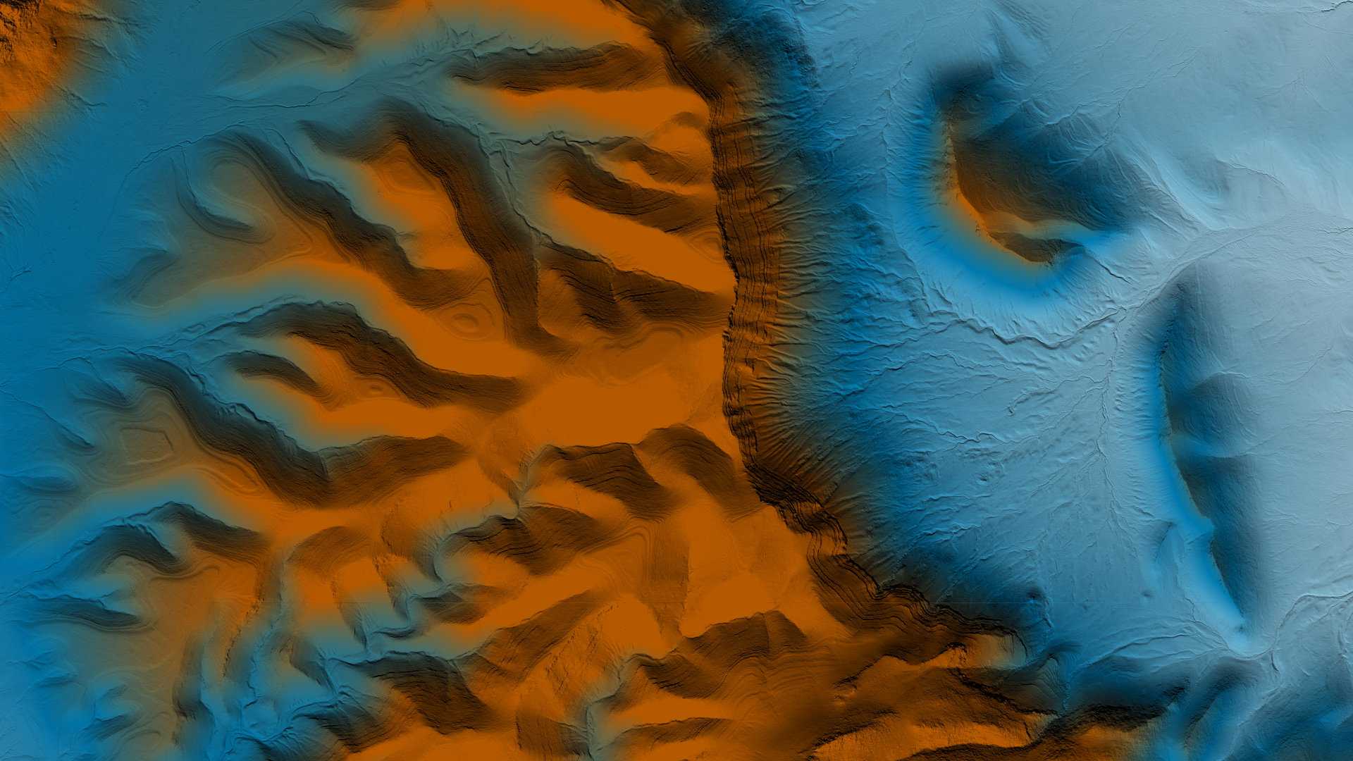
Desert Mountain Lidar, 2019
li·dar
a detection system which works on the principle of radar but uses light from a laser.
Desert Mountain Lidar, 2019
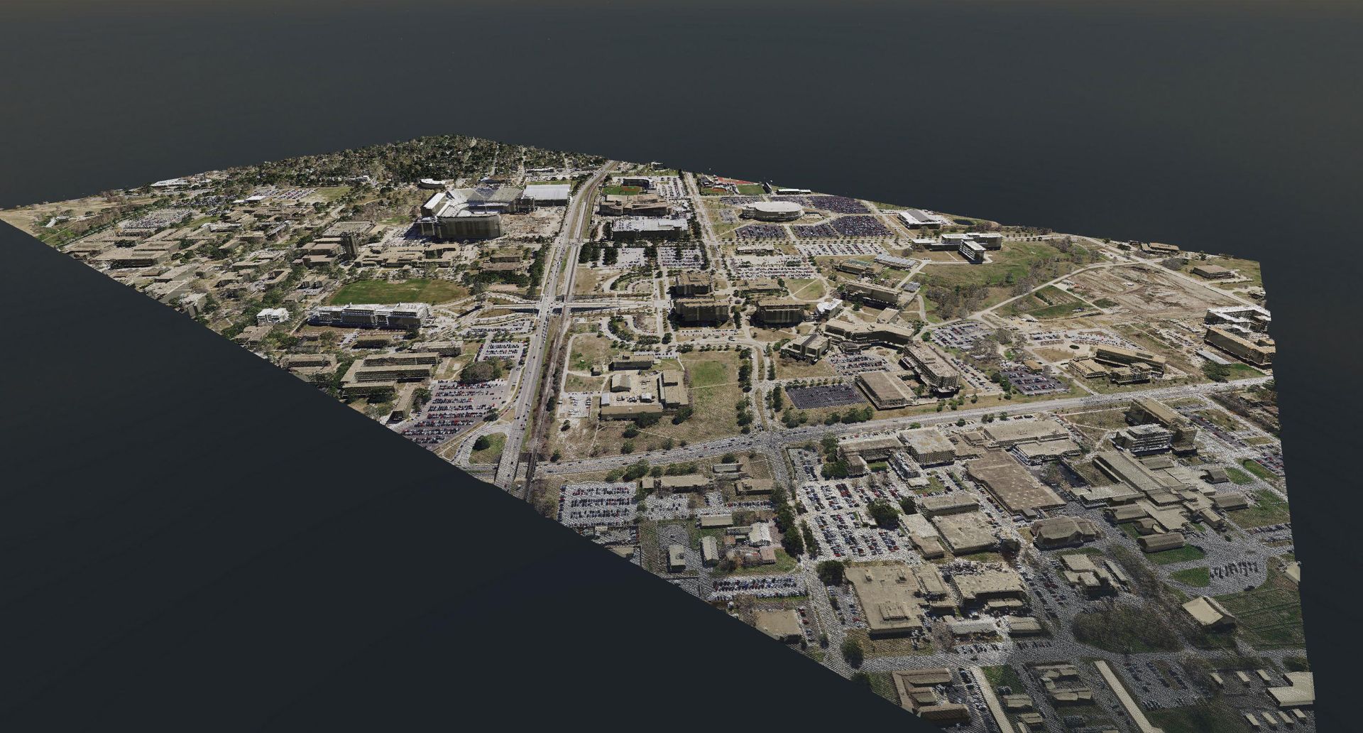
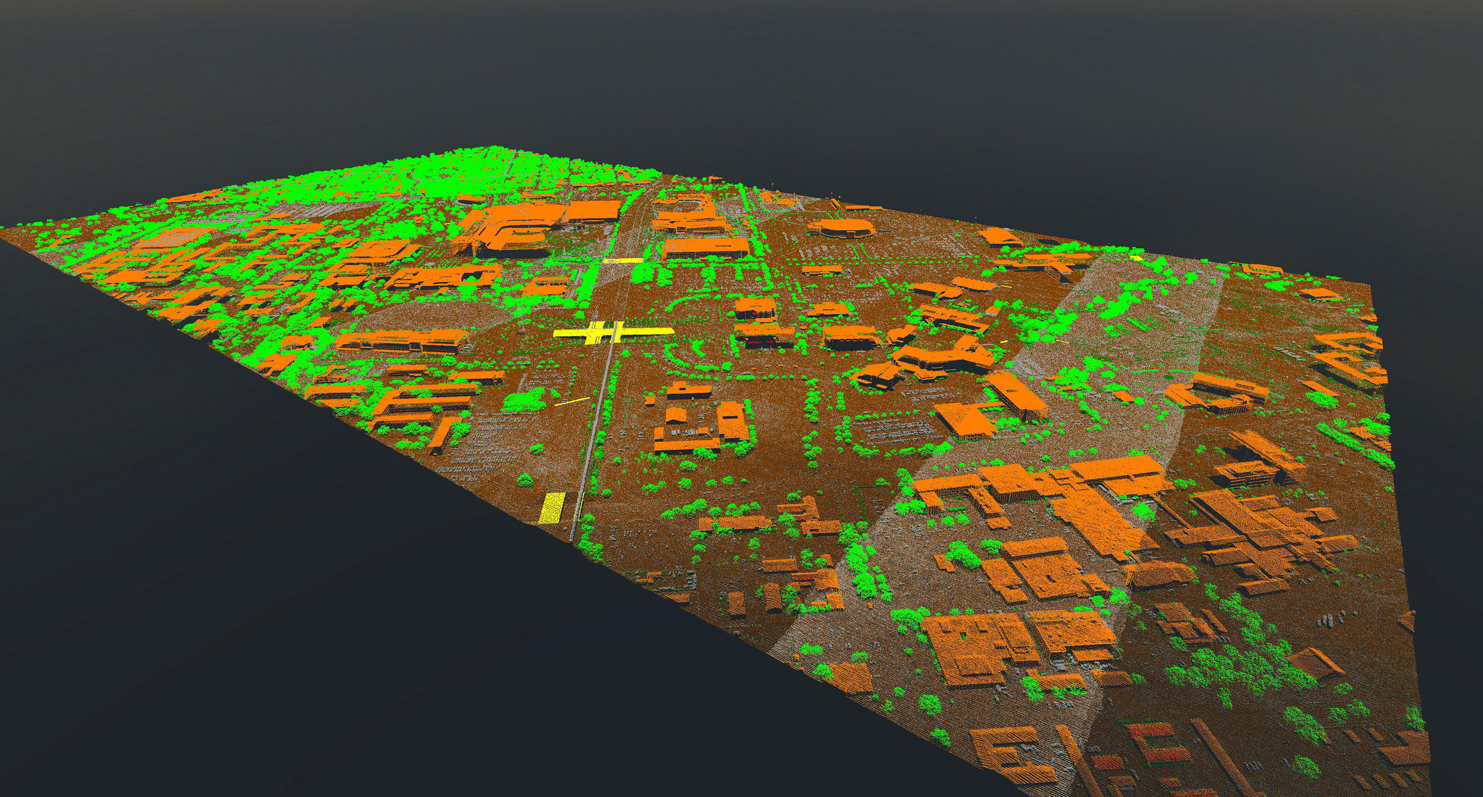
Lidar is a method of mapping the shape of land using laser pulses from aircraft. It captures the
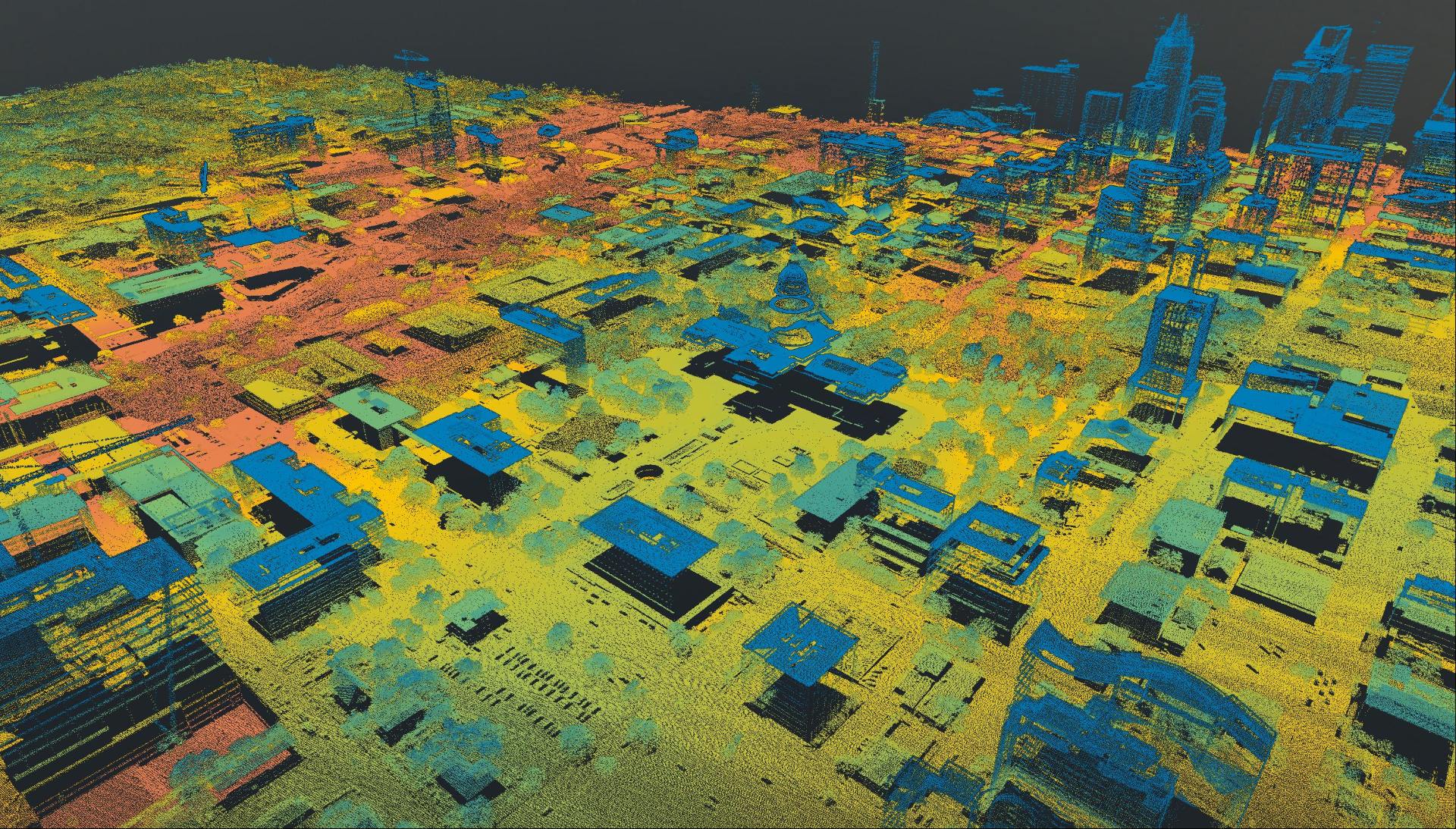
height of the ground, buildings, trees, and other features in exceptional detail, crafting a precise picture of the landscape across our state. For a state as large and varied as Texas, this level of detail is essential. Terrain changes quickly: floodplains shift, vegetation grows and burns, and urban development changes the ground surface. Lidar helps communities keep pace with these changes and plan with confidence.
For nearly 25 years, TxGIO has invested in lidar data for Texas. New projects are flown during leaf-off conditions so that the ground is easier to detect. Starting in 2025, TxGIO acquisition projects follow HUC6 watershed boundaries. HUC6 watershed boundaries are large drainage areas defined by where water naturally flows. Defining projects by watershed boundaries creates more complete data that is especially helpful for flood modelling.
Strong partnerships make this possible. TxGIO works with local, state, and federal partners to share costs, reduce duplication, and focus new collections on where they are needed most. TxGIO oversees planning, contracting, and quality control, then makes the final datasets openly available on the TxGIO DataHub. Together, these partnerships keep Texas supplied with the accurate elevation data needed to understand how our state changes over time.
projects managed
projects partners
worth of funds put towards Lidar projects
Get the latest on Texas data projects delivered to your inbox. Our updates make it easy to stay informed and engaged with the state’s evolving geospatial landscape.
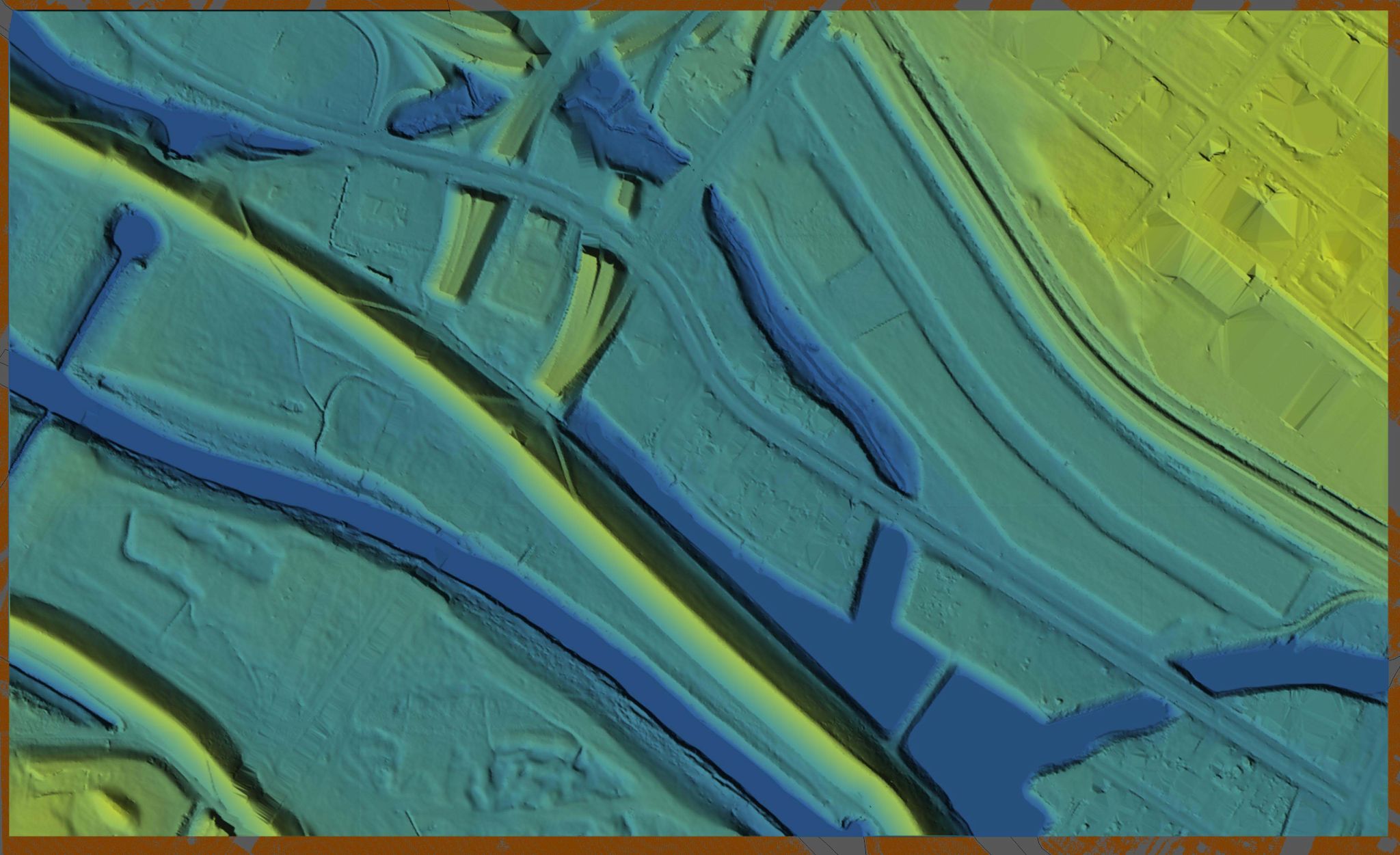
Texas needs quality elevation data to understand how to prepare for floods, growth, and change. Lidar gives a precise view of the state’s terrain, which is essential for guiding responsible development. Lidar datasets also power other derivative layers like Digital Elevation Models (DEMs), contours, and elevation-derived hydrography on the TxGIO DataHub.
StratMap/DIR Contracts make it easier and more affordable for public
entities to acquire lidar. Learn how they can streamline your next project.