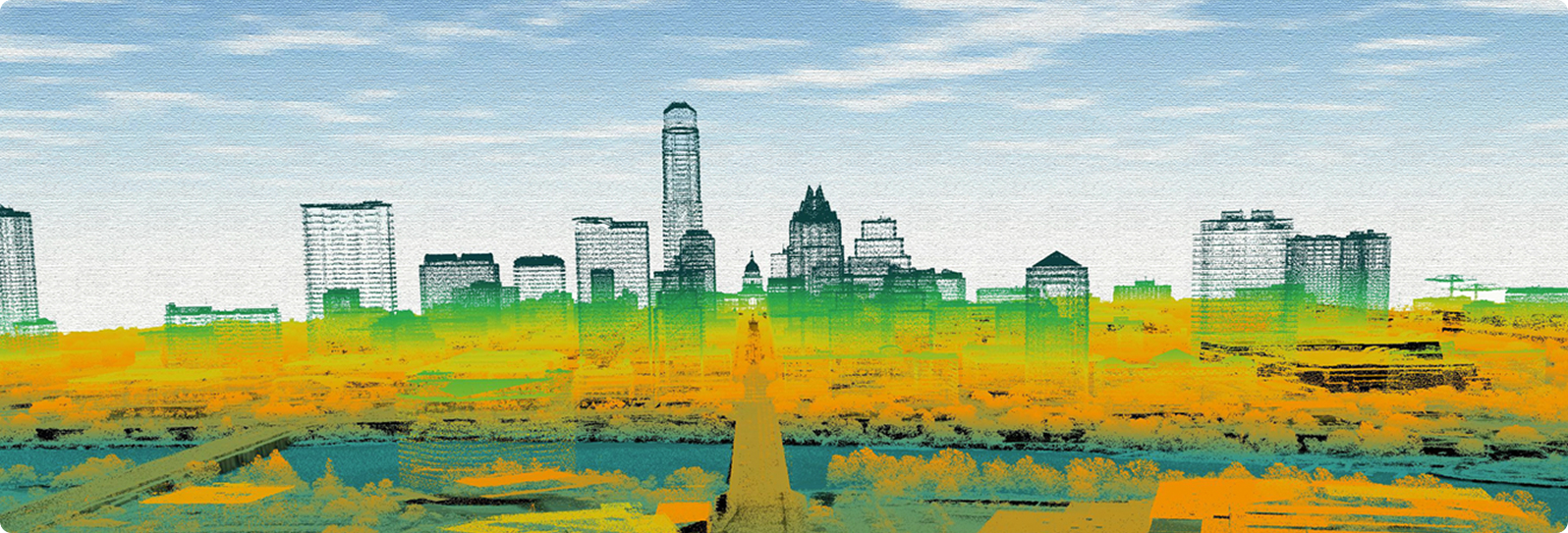
Austin, Texas lidar, 2023
Austin, Texas lidar, 2023
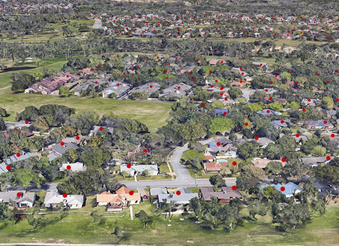
Address Points, 2018
The Strategic Mapping Program (StratMap) builds the geographic data that Texans rely on every day. Communities across the state need accurate information to plan for growth, manage natural resources, protect public safety, and understand how Texas is changing. Instead of each organization launching its own mapping projects, partners can work through StratMap to reduce duplication, lower costs, and ensure everyone is working from the same accurate information.
Our team of StratMap members manage the data acquisition process from start to finish. They work closely with state and local partners to identify where better geographic information is needed most, then design projects to fill those gaps. The team oversees procurements, manages vendor contracts, and sets clear standards so the data is consistent statewide. Much of this work flows through pre-qualified StratMap/DIR Contracts, which simply purchasing and speed up project timelines. StratMap standards ensure that key datasets follow national specifications, integrate smoothly across systems, and support decision-making.
The results of these efforts are accessible on the TxGIO DataHub, where Texans can search, preview, and download statewide geographic datasets. StratMap also provides the Texas Imagery Service which offers current, high-resolution imagery to subscribers. Together, these resources offer a fuller picture of how Texas is changing and help support decisions in planning, public safety, natural resources, and everyday community work.
Stratmap Program Manager
Imagery Specialist
Bathymetry Specialist
Bathymetry Specialist