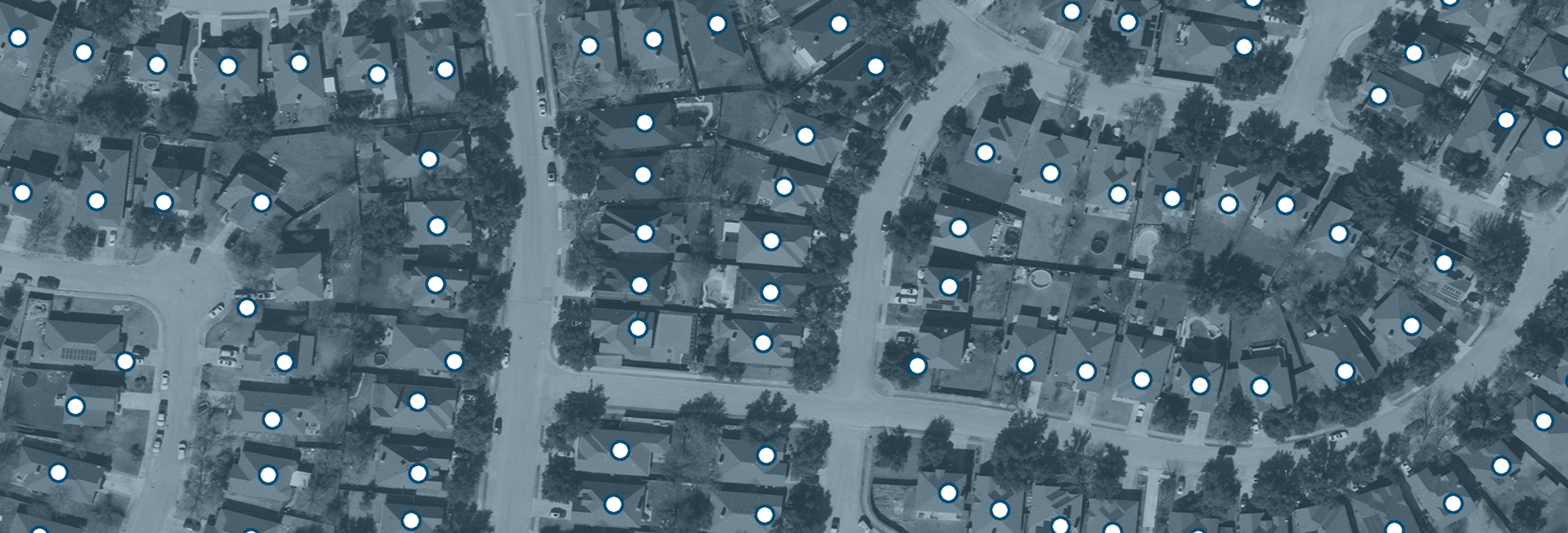
Address Points, 2024
ad·dress
A legally defined area of land with a unique identifier and defined boundaries, represented as a polygon feature within a geographic information system (GIS), and is maintained primarily for ownership and taxation purposes.
Address Points, 2024
When address data is wrong or inconsistent, everything built on top of it slows down. In a state as expansive and diverse as Texas, accurate geolocation data is essential for effective planning, emergency response, and public safety. The statewide Address Point program at TxGIO provides consistent and precise geolocation data for addresses across Texas.
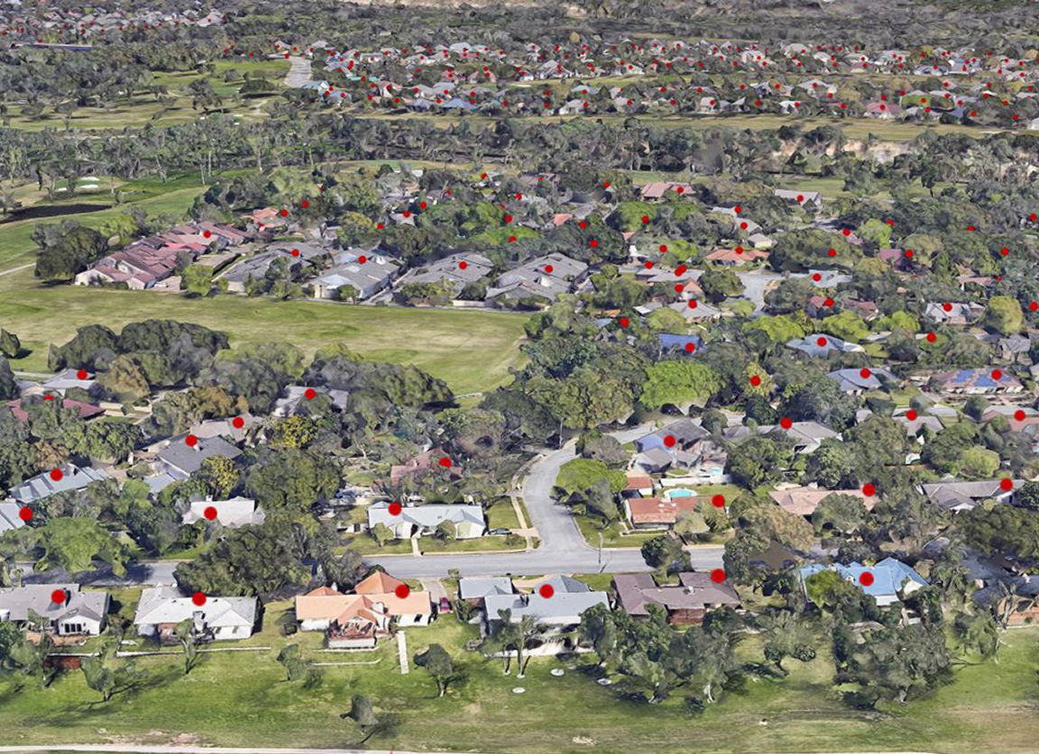
Address data in Texas is created and maintained by local and regional governmental authorities. TxGIO strengthens these local datasets by bringing them into one shared and standardized resource for all Texans. By bringing address data together, TxGIO has improved how the information is used across systems and in different jurisdictions. The dataset is built from authoritative sources, including the Commission on State Emergency Communications, local emergency communication districts, and regional Councils of Government (COG), and continues to improve each year as additional data is contributed.
TxGIO organizes the data into a consistent format so that it works across mapping tools and systems. Agencies can stream the data or download it for analysis and application development. allows users to integrate the data into geocoding tools, spatial analyses, and application development. Public entities can rely on this data to make informed decisions, available at no cost through the TxGIO DataHub.
counties represented in 2025
counties represented in 2025
points accepted to the 2025 National Address Database
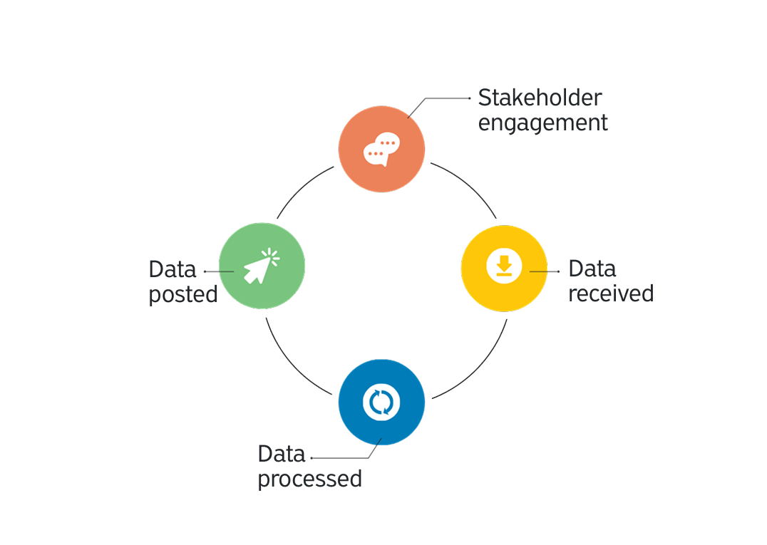
TxGIO collects millions of address points and brings them into a consistent format. The data is then standardized and validated. Valid records are compiled and made publicly available in our annual dataset release. At no time will there be a complete or final version of data as each data source has varying update schedules.
Get the latest on Texas data projects delivered to your inbox. Our updates make it easy to stay informed and engaged with the state’s evolving geospatial landscape.
Spanning 252 Texas counties, this dataset strengthens infrastructure planning, emergency response, and public services throughout our state. The 2025 release includes 11,688,882 total points, which is a 339,765 point increase from the previous year.
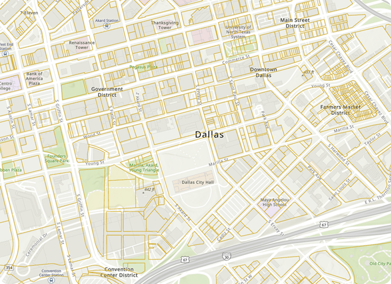
Public agencies across Texas use address point data to support planning, response, and daily operations. These examples show how a shared, statewide dataset supports decisions that impact everyday Texans.










The authoritative data source for these address points are the 9-1-1 coordinators across Texas. This includes a combination of city, county, and regional sources that vary by community. TxGIO created partnerships with these entities and their authorized aggregators to compile and share this statewide address point dataset available to the public for FREE. Authorized aggregators include the Commission on State Emergency Communications and the Texas 9-1-1 Alliance or their respective third-party vendors. TxGIO does not edit this data.
These address points were created for 9-1-1 call routing purposes; however, they are now available for public use. The Next Generation 9-1-1 (NG911) system will rely heavily on the accuracy of geospatial data, including address points. As a result, these data are continually scrubbed and analyzed for use within the NG911 system by the authoritative data sources and their vendors. Over time, these data may change based on GIS standards established by the National Emergency Number Association or for other reasons. TxGIO does not edit this data.
The 2016 Geographic Information Office Report identified a need for statewide address points. These data are required for non-9-1-1 purposes to conduct state business including the following agencies: Texas Parks and Wildlife Department, Texas Animal Health Commission, Texas General Land Office, Texas Water Development Board, Texas Department of Public Safety, Texas Department of Aging and Disability Services, Texas Department of Insurance, and Texas Commission for Environmental Quality.
TxGIO will attempt an annual refresh from authoritative data sources or their authorized aggregator. The refresh rate will vary across the state. Some data may refresh multiple times within one year. The date of the address point dataset is included in the file name as YYYYMM.
Each authoritative data source has its own guideline and policy on the placement of the point data. TxGIO cannot influence or edit the point placement or attributes. TxGIO does not edit this data.