Texas rivers, streams & waterbodies, hydrography 2025
hy·drog·ra·phy
the science of surveying and charting bodies of water, such as seas, lakes, and rivers.
Texas rivers, streams & waterbodies, hydrography 2025
Hydrography describes the rivers, streams, lakes, and drainage networks that move water from place to place. These water features shape how we plan for flooding, manage water supplies, and protect our state’s natural resources.
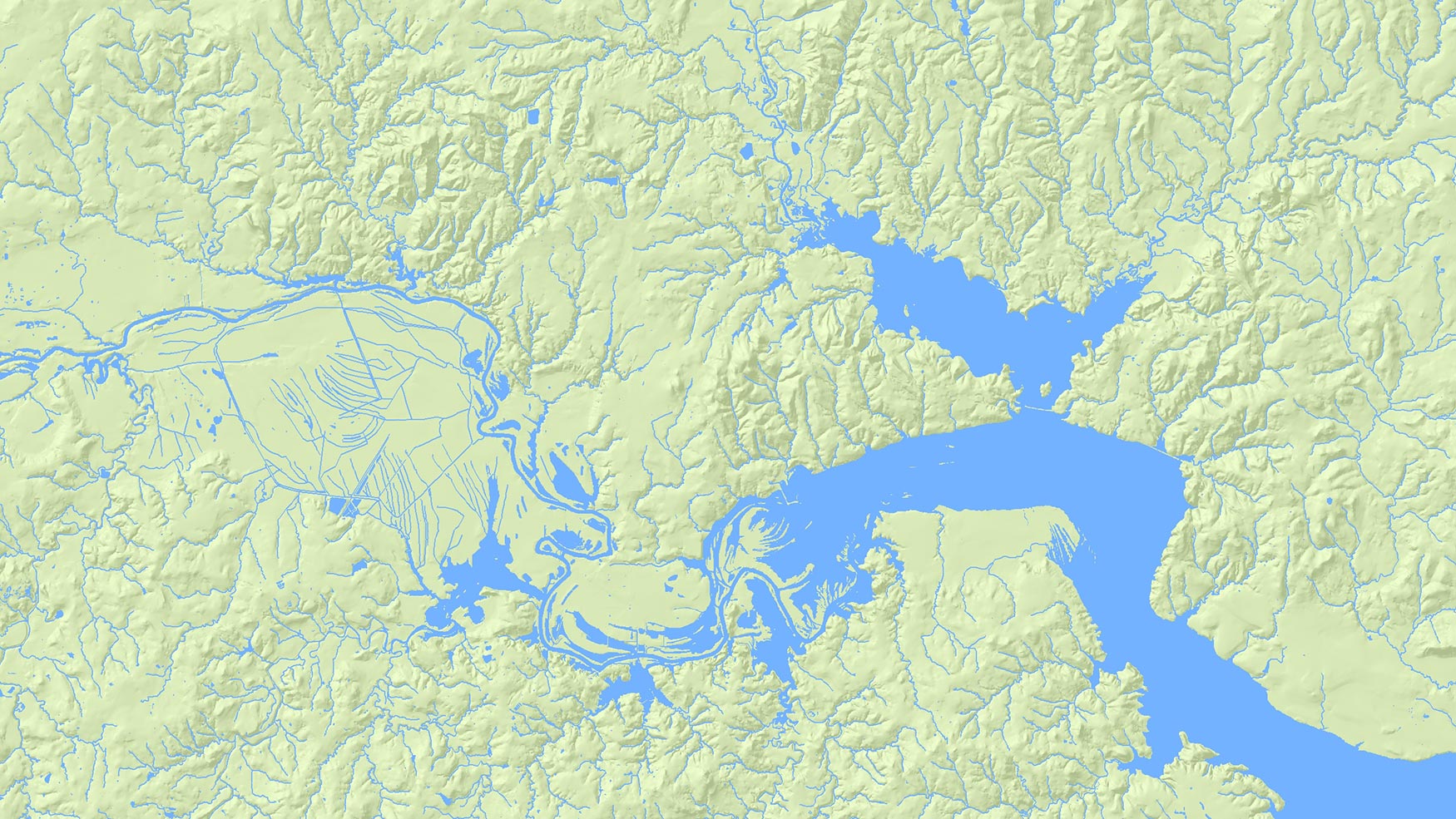
For many years, hydrography in Texas has relied on nationally developed datasets. These frameworks established a shared foundation for mapping surface water, but advances in technology are changing how hydrography is created and maintained. New approaches use detailed elevation data to align water features directly with the terrain, creating maps that better match real conditions on the ground. Our Hydrography Program aims to develop this high-accuracy, elevation-derived datasets for the State of Texas. By moving from traditional map-based hydrography to using data derived from precise elevation models, we will be able to enhance water resource management, flood modeling, and environmental conservation across Texas.
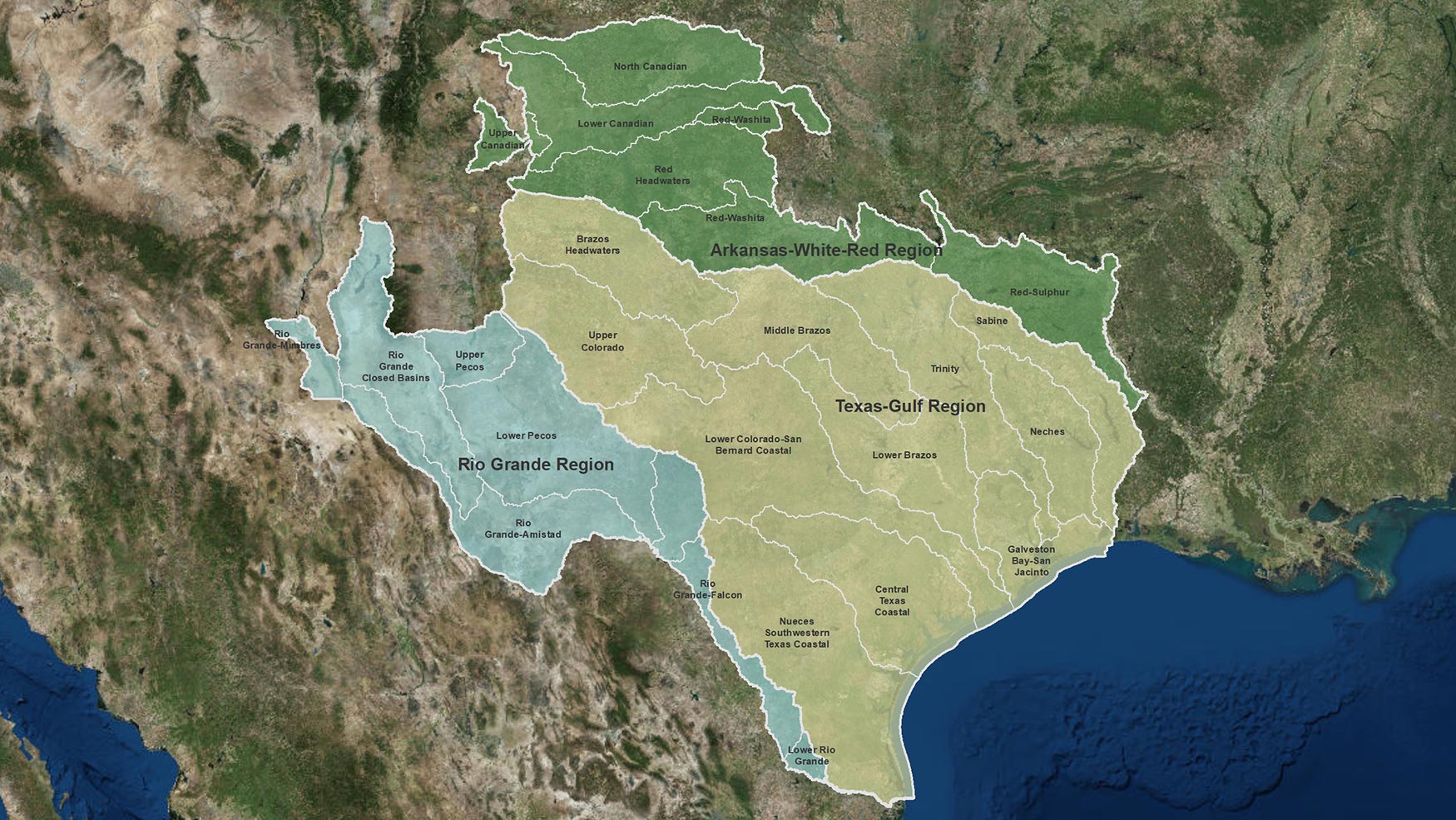
Water follows the shape of the land, not jurisdiction lines. New hydrography acquisitions will focus on natural drainage areas that show where the water collects and flows, regardless of who manages the land. This ensures a more intuitive and ecologically meaningful approach to water resource management.
TxGIO is exploring opportunities to support these new approaches through partnerships and outside funding. These efforts help point us towards a future where water data is clearer, more accurate, and easier for Texans to use when making important decisions for their communities.
Get the latest on Texas data projects delivered to your inbox. Our updates make it easy to stay informed and engaged with the state’s evolving geospatial landscape.