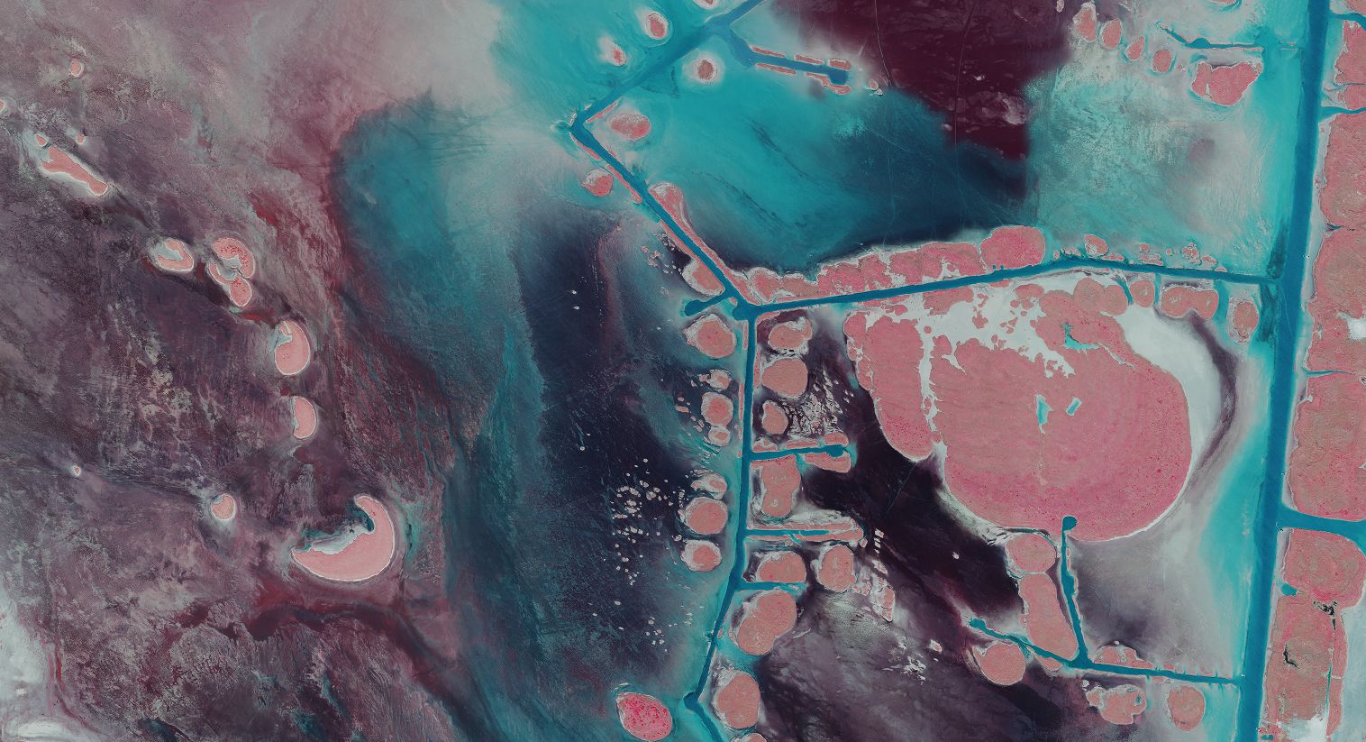
Texas NAIP aerial imagery, 2020
Or·tho·im·age·ry
aerial or satellite imagery that has been geometrically corrected to be uniform in scale and free from distortions, making it suitable for accurate measurement and mapping
Texas NAIP aerial imagery, 2020
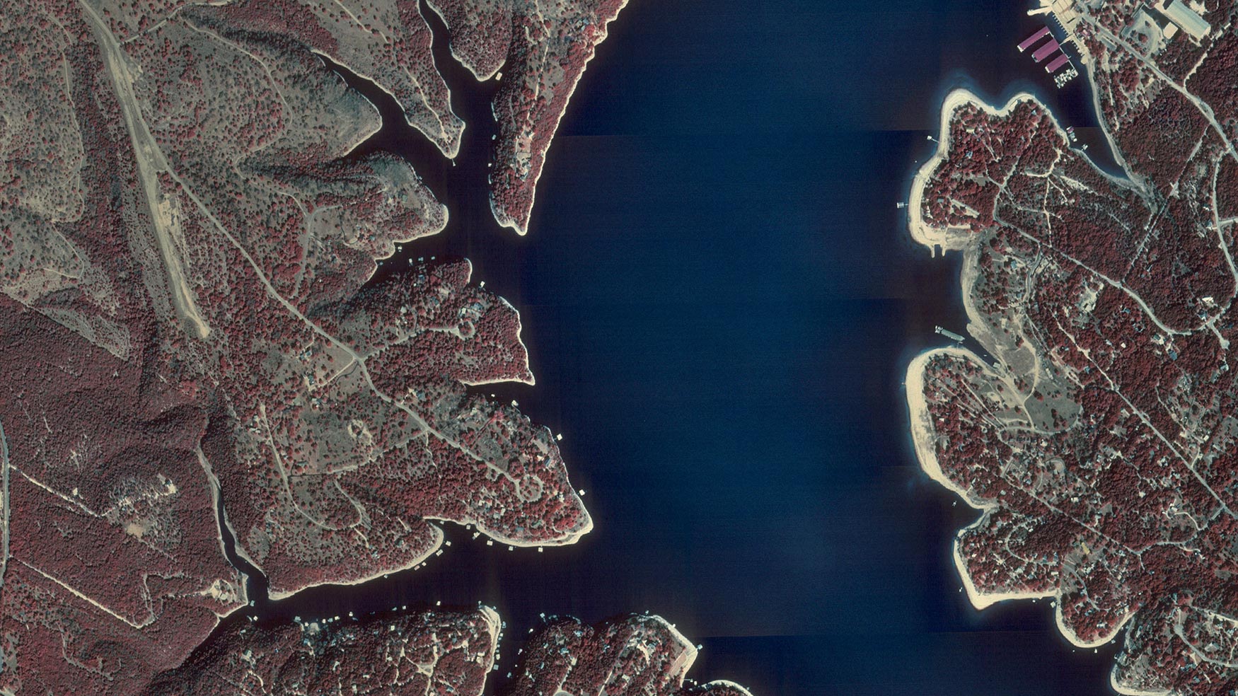
Orthoimagery begins as aerial photography, but it becomes far more useful once corrected for scale, tilt, and terrain. Those adjustments turn a photo into a dependable representation of the land, one that lines up with maps and matches real ground positions. The TxGIO Orthoimagery program offers a distortion-corrected view of the Texas landscape – creating a base of imagery you can measure, map, and rely on.
The dozens of orthoimagery collections featured on the TxGIO DataHub offer a view of Texas at a moment in time. These datasets sit between two other major imagery resources: The Historical Imagery Archive, which offers decades of uncorrected photos, and the orthoimagery available through the Texas Imagery Service, which supplies frequently refreshed statewide imagery for subscribers who need the most current imagery. Orthoimagery fills the space between and offers statewide, high-quality, and publicly accessible imagery for endless types of analysis.
Texas in the 1990’s looked different. Many of today’s suburbs were open fields, highways were narrower, and entire business districts hadn’t broken ground yet. Having orthoimagery that reaches back to that era on the cusp of the major growth we know today is an indispensable visual record. By maintaining three decades of orthoimagery collections, TxGIO ensures Texans have a mid-era snapshot of the landscape they can return to.
orthroimagery collections
past agency partners
of orthoimagery
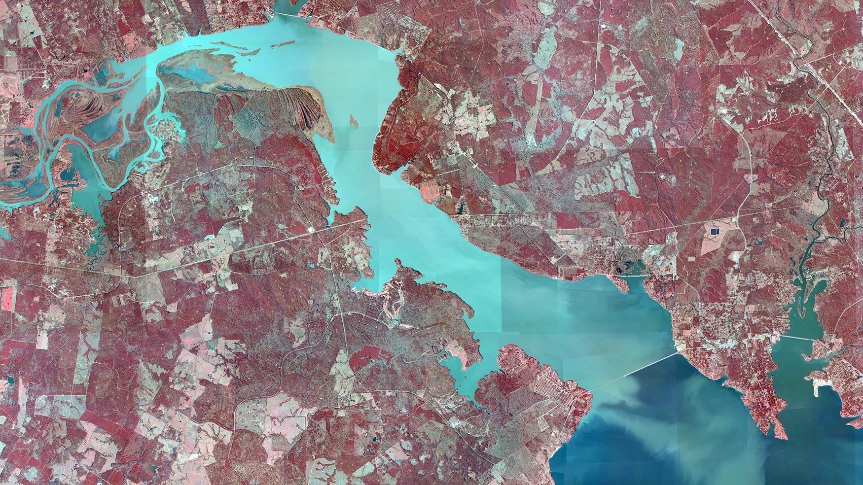
Orthoimagery turns aerial photos into a trustworthy picture of the land beneath our feet. That clarity helps people make thoughtful decisions – whether they’re planning a roadway, restoring a creek, or simply trying to understand how their community is growing.