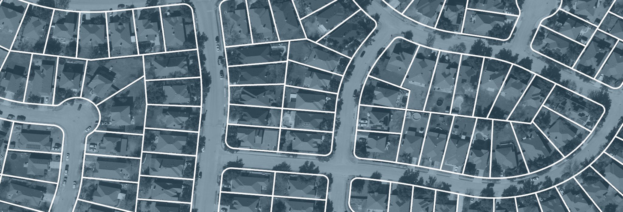
Land Parcel, 2025
par·cel
Legally defined parcel is a distinct area with legal boundaries, making it an officially recognized property.
Land Parcel, 2025
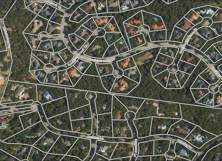
Decisions about roads, housing, and emergency response all start with a property boundary. When local leaders have access to reliable land parcel data, projects move faster and response efforts are better coordinated. Each year, TxGIO compiles certified land parcel data from County Appraisal District (CAD) offices across the state to ensure this information reaches the people who rely on it most.
TxGIO brings county appraisal district data together into one comprehensive statewide dataset with a standardized attribute schema. It’s refreshed annually to reflect new developments, subdivisions and other changes which constantly take place across our state. This shared dataset supports critical work being conducted in the state and impacts all Texans on a day-to-day basis. This data is made publicly available and can be accessed by Anyone through the TxGIO DataHub, where it’s easy to stream into GIS tools or download for analysis.
By aligning land parcel data statewide, TxGIO enables all different members of our state to work from the same map, encouraging faster decisions and stronger coordination across Texas. Shared data helps communities act with clarity, especially when timing and accuracy matter most.
counties resprestented in 2025
million parcels collected in 2025
years of collections
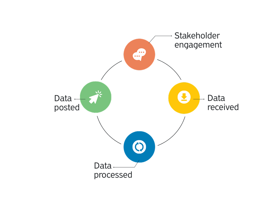
TxGIO gathers parcel data from county appraisal district offices (CADs) and prepares it for statewide use. The data is standardized, reviewed, and quality checked. Once finalized, the parcels are then combined into a single layer and published to the TxGIO DataHub for public access. Land parcel data can be accessed at either the statewide or county level. At no time will there be a complete or final version of data as each data source has varying update schedules.
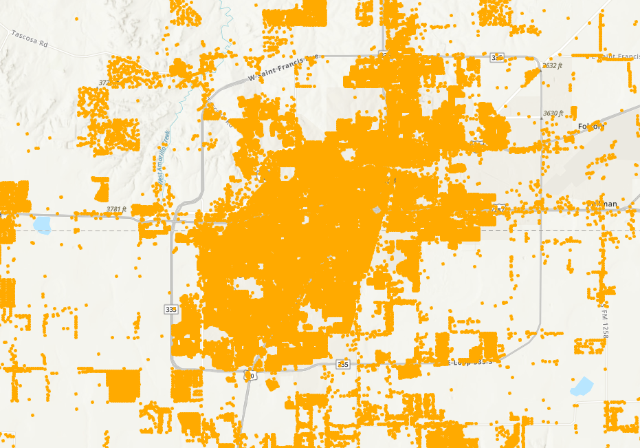
The 2025 Land Parcel collection is now available for download on the TxGIO DataHub. This latest collection delivers standardized data for 14+ million parcels statewide - compiled for your mapping, analysis, and planning workflows.
Get the latest on Texas data projects delivered to your inbox. Our updates make it easy to stay informed and engaged with the state’s evolving geospatial landscape.
State agencies in Texas rely on statewide land parcel data to support planning, operations, and public service delivery. Our annual parcel boundary datasets help them understand where assets, risk, and responsibility intersect. The examples below show how agencies apply parcel data in different ways, using the same trusted foundational data.










A geographic land parcel is a spatial reference to tabular information of a property regarding ownership, land use, legal description, ownership, etc. from the Computer Assisted Mass Appraisal (CAMA) software of an appraisal district.
The land parcels are in shapefile and file geodatabase format and require a geographic information system (GIS) software for viewing. Software to view this data is not provided by TxGIO. Other files provided include metadata and other supplemental information.
The data was transformed into the standardized TxGIO land parcel schema. TxGIO facilitated a land parcel committee to discuss the data needs of stakeholders across Texas. Land parcels have a large quantity of data stored in Computer Assisted Mass Appraisal (CAMA) and the lowest common denominator of details were agreed upon for the TxGIO land parcel schema.
TxGIO will attempt to refresh annually from each appraisal district or their third-party vendor. The refresh rate will vary across the state. Some counties may refresh multiple times within one year. The year and month of the land parcel dataset is included in the file name as YYYYMM.
These geographic land parcel data are created by county appraisal districts or their third-party vendor, and are considered the authoritative source. TxGIO compiles these data for statewide distribution and is not authorized to make edits to the geometry or attribution of this data. A directory of appraisal districts is located on the Texas Comptroller of Public Accounts website.
Not all counties are available for download from TxGIO. We continue to work with appraisal districts to provide as many county land parcel datasets as possible. As they are available, they will be posted online for download and the availability map updated. A directory of appraisal districts is located on the Texas Comptroller of Public Accounts website.