About TxGIO
About Us
pending...
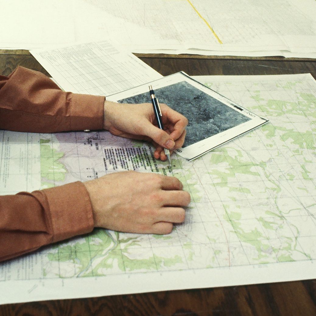
TxGIO at the Texas Water Development Board
The Texas Geographic Information Office (TxGIO) is a division of the Texas Water Development Board (TWDB). Formerly known as the Texas Natural Resources Information System (TNRIS), we’ve been the state’s hub for geospatial data since 1968. From digital orthoimagery, digital elevation data, historical aerial photography, land parcels, address points, and emergency management data, our work makes critical information accessible to the public.

TWDB staff viewing lidar capturing planes at an airplane hangar.
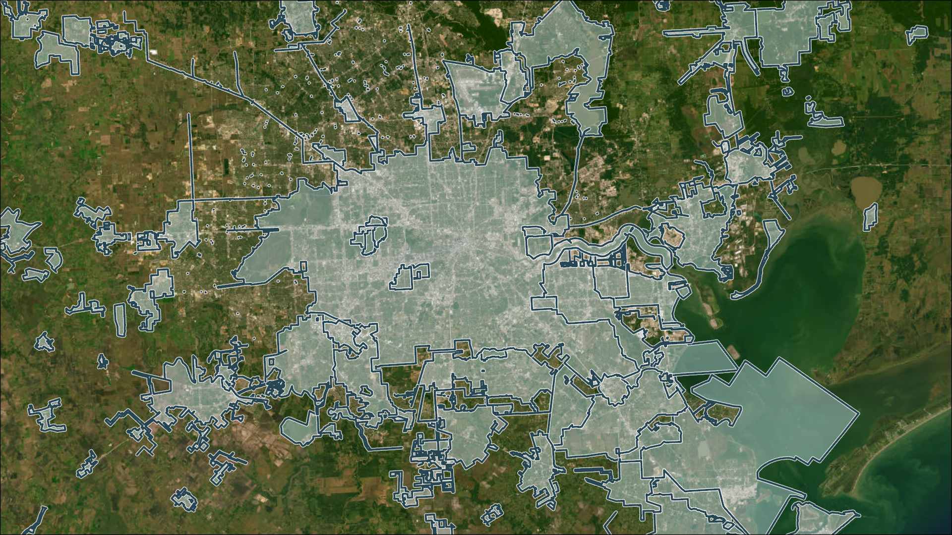
Our role is to connect agencies, universities, and industry partners so data can be shared, standardized, and put to work for Texas. Through programs and services like StratMap, DIR Cooperative Contracts, and the TxGIO DataHub, we help organizations save time and money while making better informed decisions.
For more than 50 years, we’ve partnered with local, state, and federal agencies to collect and share trusted data. What started as the Texas Water Oriented Data Bank in 1968 has grown into today’s TxGIO, always with the goal of connecting people with the geographic information they need.
Richard Wade Texas Geographic Information Officer
The Geographic Information Officer (GIO) leads statewide efforts to connect public agencies, institutes of higher education, and private sector and trade association around the use of geospatial data.

Strategic Mapping Program
Team PageJoey T.
Stratmap Program Manager
Lauren K.
Imagery Specialist
Clayton R.
Bathymetry Specialist
Sean S.
Bathymetry Specialist
Research and Distribution
Team PageAaron P.
Maria J.
Design, Innovation, & Marketing
Team PageLaura S.
Manager
Erik O.
Clay M.
UX/UI Designer
Gwen K.
Application Development
Team PageChris R.
Walking dogs
Ben B.
Programmer
Levi H.
Rob D.
Aziza O.
Dipak S.
System / Business Administration
Team PageChelsea S.
Manager
Joseph R.
Marco M.
System Administrator
Ryan M.
Project Management
Team PageVanessa E.
Frequently Asked Questions
Have questions about our office, programs, or data? Find answers to the most common topics.
Need an expert voice at your next events?
TxGIO specialists are available to share insights on geospatial data, mapping programs, and community impact.