GIS Community
The Texas geospatial community is bigger than any single agency, event, or platform. It’s a statewide network of passionate people who use location-based data to plan, respond, build, teach, and deeper understand the places we live.
The Texas geospatial community is bigger than any single agency, event, or platform. It’s a statewide network of passionate people who use location-based data to plan, respond, build, teach, and deeper understand the places we live.
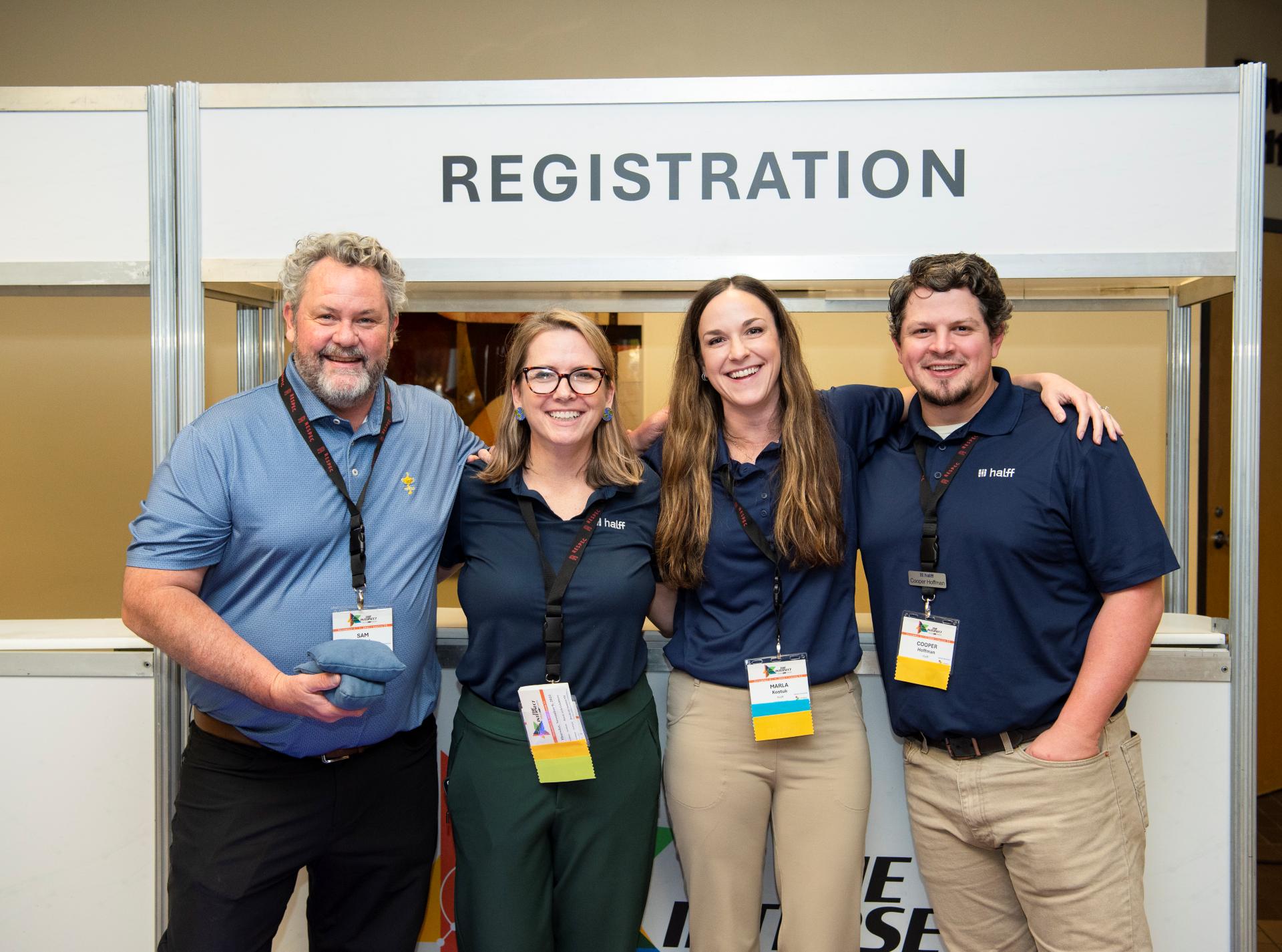
The Texas geospatial community includes analysts, planners, emergency managers, educators, developers, students, and decision-makers. We work in a variety of organizations: public, private, academic, and nonprofit. What connects us isn’t a title or toolset, but the shared reliance on location-based information to make better decisions.
TxGIO supports this community be helping people find data, share knowledge, and stay connected. But the community extends far beyond just our programs. That’s why we invite all those who fall under the Texas GIS Community umbrella to utilize this space for highlighting events, opportunities, and resources that reflect the full breadth of geospatial work in Texas.
| Sun | Mon | Tue | Wed | Thu | Fri | Sat |
|---|
workspace_premiumTxGIO will be present at events with this symbol
Sign up for updates on data releases, events, and programs