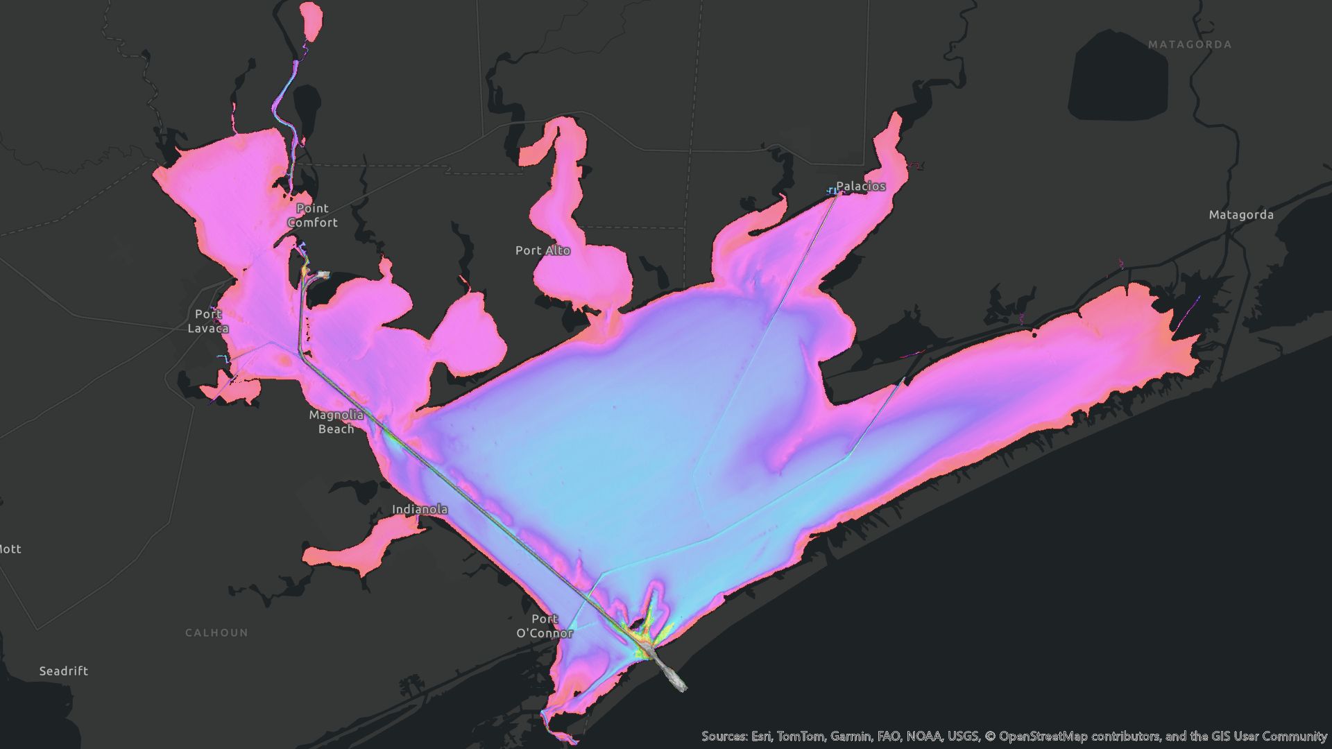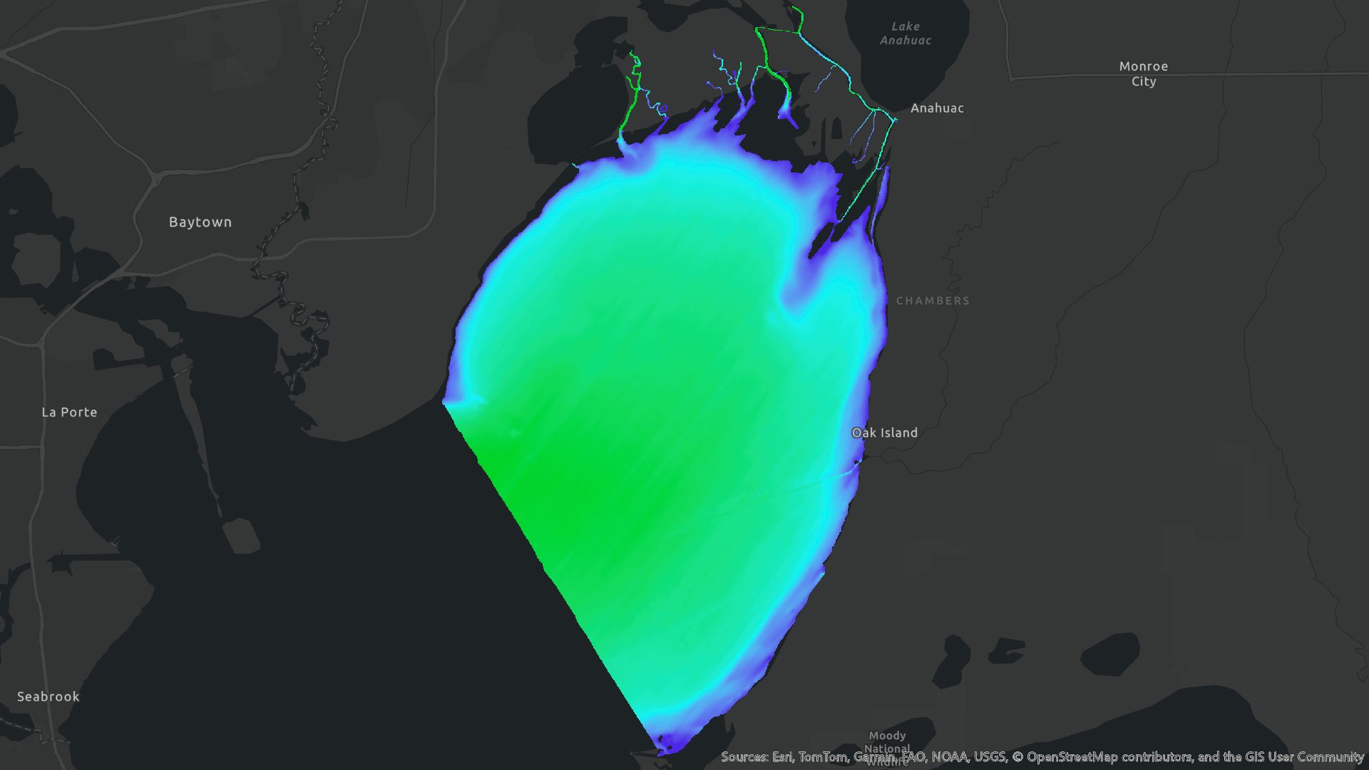
West Texas, lidar, 2019
n/a add here
a program or piece of software designed and written to fulfill a particular purpose of the user.
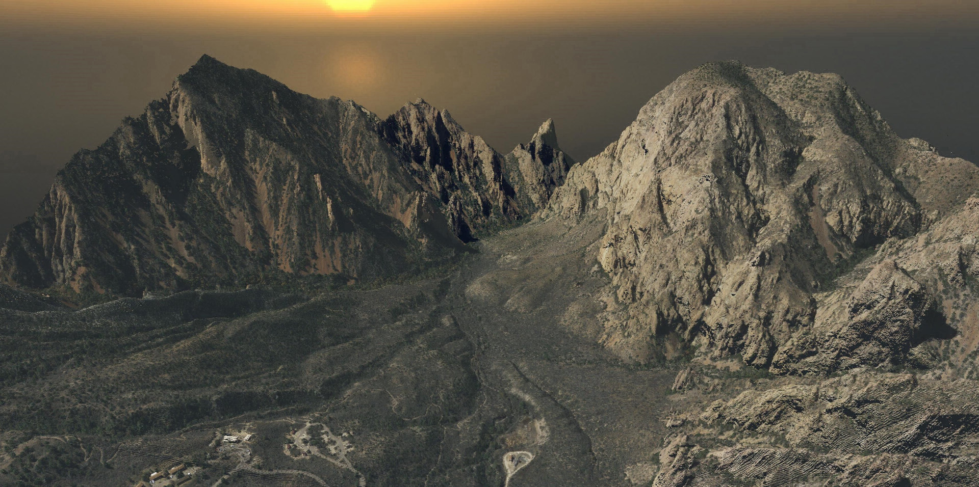
West Texas, lidar, 2019
The TxGIO DataHub is the central place to access more the 2,000 geospatial datasets covering all 254 counties in Texas. It brings together core StratMap layers like elevation, address points, and historical aerial imagery dating back to the 1920s, along with many others that support day-to-day decision making. Users can filter by topic or location, stream layers directly into GIS applications through standard web-service protocols, and access new datasets added throughout the year. Everything on the DataHub is free, easy to explore, and continually updated to reflect new acquisitions. By making this high-quality geographic data widely accessible, the DataHub helps Texans make confident and informed decisions about the place they care most about.
Explore hundreds of datasets through our free and easy-to-use platform. Users can search, filter or navigate to a location to find the exact data they need. Stream layers into GIS applications through standard Web Map Service links.
Launch
The Bulk Downloader is a sister tool to the TxGIO DataHub, providing an efficient way to access data at scale. Users can select entire counties or project areas and download multiple tiles in a single, streamlined process.
New to the TxGIO DataHub? Explore guides and step-by-step demonstrations to help you get the most out of our data. Our tutorials walk you through searching, filtering, downloading, and streaming data into your GIS applications. Visit the How To page to explore all available resources.
Data for collections can be downloaded directly from the collections download page on data.geographic.texas.gov. Click on the state, county, or tile polygons in the map to access the black text hyperlink to initiate the download.
TxGIO also has a bulk download application by using the collection card URL. Please be sure to read the README file thoroughly for instructions on setting up the bulk download application. There are two options, the first is an executable and the second allows you to run the bulk download application through the terminal. You can use this tool to download most of the collections offered by TxGIO but as mentioned above, there are some limitations.
Collections listed as 'Order Only' on the data.geographic.texas.gov will not be accessible through the bulk download application.
Please also note that the bulk download application is currently an 'all or nothing' download. It will download the full collection, there are no options for selecting specific geographies.
We have recently enabled downloading capabilities for our digital archive. The historic imagery can be access by using the S3 URL on the Historic Imagery collection card on the DataHub. Completeness, index availability, and georeferencing availability varies by collection.
Collections within the digital archive have been organized by collection mission ID, see Mission Identifier on collection card. If you require assistance to identify specific collections, please feel free to contact TxGIO with those questions and we will be happy to help.
Note:
We have provided indexes for research purposes on our DataHub as well.
For USGS, AMS, USAF, and NASA Historic Collection please visit USGS EarthExplorer
Please note not all collections have been geo-referenced.
If you would prefer to request the imagery through the TxGIO DataHub for a TxGIO team member to research and deliver the imagery, a fee will be incurred.
You can ask questions about data set collections directly from the TxGIO DataHub Collection Card. Using this contact form provides collection details to support staff and ensures issues are directed to the right TxGIO staff member.
Typically this happens because the shape file has a different coordinate system than your drawing. It need to be imported, not added, to the drawing. The import dialog allows you to define the coordinate systems and then does the math to project it to you drawing's coordinate system.
Here is some information on bringing ESRI Shape files into AutoCAD
Civil3dreminders
GIS Stackexchange
Knowledge@Autodesk
TxGIO DataHub Subtraction
As of June 2019, the OTLS, Digital Raster Graphics, and some other datasets have been removed based on data currentness and availability on other sites. TxGIO is always based on providing the users with the best most current versions of datasets. In doing that it may be necessary to have users jump to other data site.
National Wetlands Inventory - The NWI maps we had on the site were extremely dated, and it looks like US Fish and Wildlife does not produce the NWI maps anymore. You can get vector data directly from the US Fish and Wildlife GIS data site.
Original Texas Land Surveys - There are 2 version of this data the GLO version, and the RRC version. The GLO version is licensed via a private company unavailable for distribution. The RRC version, the one that was on the site, is somewhat different, but it is nearly impossible to talk to anyone at RRC about issues related to the data. It is also on a varied update cycle and this update date is rarely given to TxGIO. Both GLO and RRC have map services with the OTLS in it. These services provide users access to the most current version of the data. If you really just need the outdated maps, you can download them here.
A search for Original Texas Land Surveys or OTLS will return the agencies responsible for the dataset. That dataset collection is no longer available from TxGIO. You would need to contact RRC or GLO directly.
The GLO version of the data cannot be downloaded but can be used in their online map viewer.
You should be able to get the most current version of the data from RRC, but I think you would have to order it. RRC Map Viewer
National Flood Hazard Layer - This dataset is updated a frequency that we cannot handle moving the data in and out of the system. This collection card has a link the FEMA Map Service Centerwhere you can get the most up to date FEMA dataset.
Digital Raster Graphics- (various scales of topo maps) - This dataset collection was removed due to currency of the data. The most current map we had was from the 1980s. The USGS has more current versions of the maps, in GeoPDF format, within the USGS collection card you can find a link to one of the sites the USGS uses to distribute this data. If you really just need the outdated maps here.
NRCS Soils - The version of the soils that was created by a TxGIO staff member and has been updated since 2010. The simplified version only contained 1/10 the information you can get from SURSGO.
TxDOT Urban files - These files are extremely dated. TxDOT has not update the files since 2003. The last set TxGIO got was from after that update. If you are looking for current roadway data, you should use the TxDOT Open Data Portal. From there you can view, and export roadways and all the other layers managed by Texas Department of Transportation. If you really just need the outdated maps, you can download them here.
Political boundaries can be found in the TxDOT Open Data Portal. Texas does not have an official County Boundary layer; however, the current best county boundaries are produced by TxDOT
There is no official county boundary dataset for Texas. GLO maintains the legal descriptions of the county boundaries, but does not make edits to the geometry of the shape file. In the past, geometry edits were performed by TxDOT. Legal description changes and surveys do not happen often as the counties have to agree to have a survey and then agree to its results. There may not have been an edit in 5 or more years. I would suggest using the TxDOT County Detailed Polygon.
The Original Texas Land Survey and some other datasets have been removed based on data currentness and availability on other sites. TxGIO (Texas Geographic Information Office) is always based on providing the users with the best most current versions of datasets. In doing that it may be necessary to have users jump to other data sites.
Original Texas Land Survey- There are 2 versions of this data the Texas General Land Office version, and the Railroad Commission version. The Texas General Land Office version is licensed via a private company unavailable for distribution. The Railroad Commission version, the one that was on the site, is different, but it is impossible to talk to anyone at Railroad Commission about issues related to the data. It is also on a varied update cycle and this update date is rarely given to
TxGIO. Both Texas General Land Office and The Railroad Commission have map services with the Original Texas Land Survey in it. These services provide users with access to the most current version of the data.
A search for Original Texas Land Surveys or OTLS will return the agencies responsible for the dataset. That dataset collection is no longer available from TxGIO. You would need to contact the Railroad Commission or Texas General Land Office directly.
The Texas General Land Office version of the data cannot be downloaded, but can be used in their online map viewer.
You should be able to get the most current version of the data from the Railroad Commission, but I think you would have to order it. RRC Map Viewer
Texas is neither a PLSS nor Township\Range state. It was never divided that way. PLSS exists for the counties of Texas adjacent to states with PLSS. The closest thing that exists for Texas is the Original Texas Land Surveys. An interpretation of the Original Texas Land Surveys boundaries and bay tracts.
The Original Texas Land Survey is an interpretation of the Original Texas Land Surveys boundaries and bay tracts. The dataset was derived
from the Texas General Land Office county maps, the Texas General Land Office Abstract of Original Land Titles: Volumes and Supplements, and the Texas General Land Office maps of State-Owned Submerged Lands of the Texas Gulf Coast (bay tracts). The Original Texas Land Survey was generated by the Texas Railroad Commission. The Patent Survey lines from the Texas General Land Office maps are interpreted against the USGS 7.5-minute quadrangle maps to create the Original Texas Land Survey layer. The Original Texas Land Survey is continually updated and refined by the Railroad Commission.
The Original Texas Land Survey is 3 to 4 shape files.
surv***s - survey
surv***a - abstract
surv***l - lines (geometry lines that make the polygons for the a and s shape files
surv***b - bay tracts (does not exist for all counties)
Texas does not have a state agency to handle land. The Texas General Land Office, managed state lands, assets, and offshore oil leases. The Railroad Commission handles oil and gas permits for Texas. Both agencies have a version of the Original Texas Land Surveys. We did distribute the Railroad Commission version. The Texas General Land Office version is a propriety dataset between Texas General Land Office and Tobin\P2Energy. Both versions are continuously updated by their respective agencies. We carried the 2014 version from Railroad Commission.